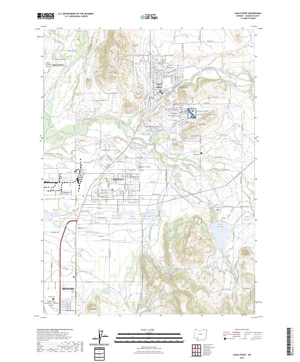
2024 Map of Eagle Point
USGS Topo · Published 2024About this map
Eagle Point serves as the focal point for this recent survey of the Rogue Valley, where suburban expansion meets an intricate system of water management. The landscape is defined by the Medford Irrigation District Canal and Medford Aqueduct, which weave through the terrain to support the region's agricultural and residential needs. Notable landmarks include the sprawling grounds of the Eagle Point National Cemetery and the Eagle Point High School. To the south, the industrial and residential grid of White City sits near the Military Slough, reflecting the area's development. Water features are prominent throughout, from the significant Agate Reservoir on the eastern edge to the complex of Hoover Reservoirs and Whetstone Pond. The northern reaches are characterized by the Rogue River and landmarks such as Long Mountain and the Sutton on Rogue Airport.
Find a feature on this map
133 named features on this map. Tap any name to fly to it.
Don’t see what you’re looking for? This feature index may not catch every label — zoom into the map to look around manually.
Map Details
Editions of this 2024 Eagle Point Map
This is the sole edition of this map. No revisions or reprints were ever made.
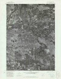
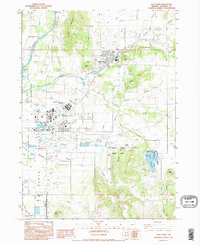
Historical Maps of Medford Through Time
3 maps found