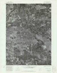
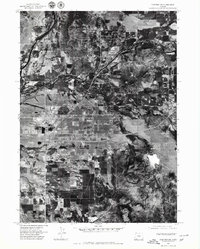
1974 Map of Eagle Point
USGS Topo · Published 1986About this map
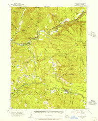
Eagle Point serves as the focal point of this orthophotographic study, which captures the Rogue Valley landscape during the mid-1970s. The imagery reveals a transition from the structured residential and commercial blocks of the town to the expansive industrial and agricultural layout of nearby White City. Further south, the crossroads of Four Corners anchors a region of varied land use, where cleared fields meet the rising topography of the Rader Hills. This specific 1974 aerial perspective provides an unfiltered view of the mid-century development patterns and rural infrastructure in Jackson County before modern expansion altered these established settlement boundaries.
Find a feature on this map
4 named features on this map. Tap any name to fly to it.
Don’t see what you’re looking for? This feature index may not catch every label — zoom into the map to look around manually.
Map Details
Editions of this 1974 Eagle Point Map
2 editions found
Other maps of this area

1891 · Ashland
USGS Topo · 1:250,000

1893 · Ashland
USGS Topo · 1:250,000

1897 · Ashland
USGS Topo · 1:250,000

1938 · Medford
USGS Topo · 1:125,000
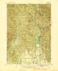
1943 · Trail
USGS Topo · 1:62,500
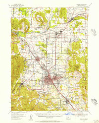
1954 · Medford
USGS Topo · 1:62,500
1954 · Butte Falls
USGS Topo · 1:62,500
1954 · Lakecreek
USGS Topo · 1:62,500

1955 · Medford
USGS Topo · 1:250,000

1957 · Medford
USGS Topo · 1:250,000