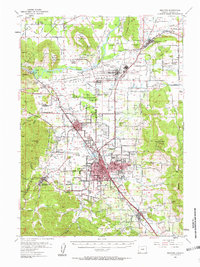
1938 Map of Medford
USGS Topo · Published 1938About this map
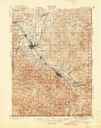
The Rogue River dominates the northern reaches of this Jackson County landscape, flowing past the distinctive geological formations of Upper Table Rock and Lower Table Rock. During the late 1930s, the valley floor supported a dense network of smaller settlements and agricultural infrastructure, including Eagle Point, Central Point, and the regional hub of Medford. Economic life in the area is reflected in the path of the Southern Pacific railroad and the Pacific Highway, while the hillsides show the footprint of the mining industry with sites like the Millionaire Mine and Sterling Mine. To the south, the terrain rises sharply toward the Siskiyou Mountains, where Mt Ashland and the dramatic Pilot Rock stand near the Jackson Co Siskiyou Co line. This survey captures a moment when rural education was localized in small institutions like Table Rock Sch and Wagner Sch, and the Medford Water Line traced its way from the mountains to the valley.
Find a feature on this map
99 named features on this map. Tap any name to fly to it.
Don’t see what you’re looking for? This feature index may not catch every label — zoom into the map to look around manually.
Map Details
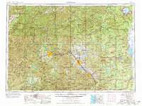
Editions of this 1938 Medford Map
3 editions found
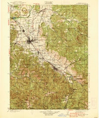
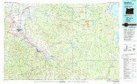
Historical Maps of Medford Through Time
6 maps found