
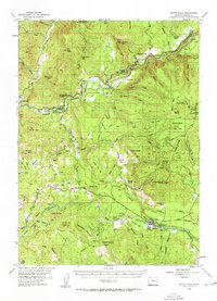
1954 Map of Butte Falls
USGS Topo · Published 1956About this map
Butte Falls serves as the industrial and civic anchor of this mid-century Jackson County landscape, characterized by a complex network of timber extraction and water management. The town is flanked by Beekman Flat and the Butte Falls Cem, with the Aqueduct Logging Railroad and various canals and aqueducts illustrating the region's reliance on both the logging industry and the South Fork Little Butte Creek watershed.
Find a feature on this map
92 named features on this map. Tap any name to fly to it.
Don’t see what you’re looking for? This feature index may not catch every label — zoom into the map to look around manually.
Map Details
Editions of this 1954 Butte Falls Map
3 editions found
Other maps of this area

1891 · Ashland
USGS Topo · 1:250,000

1893 · Ashland
USGS Topo · 1:250,000

1897 · Ashland
USGS Topo · 1:250,000

1938 · Medford
USGS Topo · 1:125,000

1943 · Trail
USGS Topo · 1:62,500

1944 · Tiller
USGS Topo · 1:62,500

1944 · Abbott Butte
USGS Topo · 1:62,500

1947 · Abbott Butte
USGS Topo · 1:62,500

1954 · Medford
USGS Topo · 1:62,500

1954 · Lakecreek
USGS Topo · 1:62,500