
1944 Map of Abbott Butte
USGS Topo · Published 1958About this map
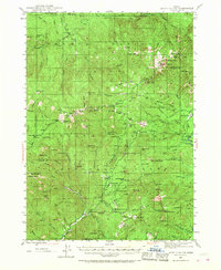
Al Sarena (Buzzard) Mine and numerous remote outposts define the high-elevation landscape of the Umpqua National Forest and Rogue River National Forest during the mid-1940s. The region is characterized by a network of seasonal camps and administrative sites used for fire suppression and forestry, including the Dumont Ranger Sta, Matthews Guard Sta, and the Bald Mtn Lookout.
Find a feature on this map
119 named features on this map. Tap any name to fly to it.
Don’t see what you’re looking for? This feature index may not catch every label — zoom into the map to look around manually.
Map Details
Editions of this 1944 Abbott Butte Map
3 editions found
Other maps of this area

1891 · Ashland
USGS Topo · 1:250,000

1893 · Ashland
USGS Topo · 1:250,000

1897 · Ashland
USGS Topo · 1:250,000

1917 · Diamond Lake
USGS Topo · 1:125,000

1943 · Trail
USGS Topo · 1:62,500

1944 · Tiller
USGS Topo · 1:62,500

1947 · Abbott Butte
USGS Topo · 1:62,500

1954 · Butte Falls
USGS Topo · 1:62,500

1955 · Quartz Mtn
USGS Topo · 1:62,500

1955 · Red Butte
USGS Topo · 1:62,500