
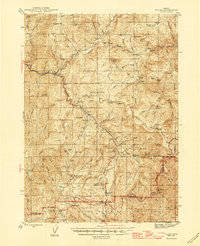
1944 Map of Tiller
USGS Topo · Published 1946About this map
The South Umpqua River carves a deep valley through this mid-1940s landscape, serving as the primary corridor for the settlement of Tiller and its nearby Ranger Station. This period was defined by a rugged extractive economy, where logging and mining operations were tucked into the drainage basins of Days Creek and Tiller Creek. Resource extraction is evident at the Old Johnson Mill and the Shangri-La Mill, while the southern reaches of the map show an active prospecting history with the Banfield Mine, Rowley Mine, and Richter Lode Mine.
Find a feature on this map
88 named features on this map. Tap any name to fly to it.
Don’t see what you’re looking for? This feature index may not catch every label — zoom into the map to look around manually.
Map Details
Editions of this 1944 Tiller Map
5 editions found
Other maps of this area

1891 · Ashland
USGS Topo · 1:250,000

1893 · Ashland
USGS Topo · 1:250,000

1897 · Roseburg
USGS Topo · 1:125,000

1897 · Ashland
USGS Topo · 1:250,000

1900 · Roseburg
USGS Topo · 1:125,000

1904 · Riddle
USGS Topo · 1:125,000

1943 · Trail
USGS Topo · 1:62,500

1944 · Abbott Butte
USGS Topo · 1:62,500

1947 · Abbott Butte
USGS Topo · 1:62,500

1954 · Dixonville
USGS Topo · 1:62,500