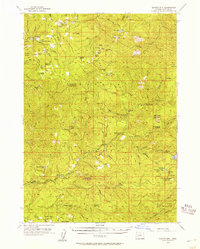
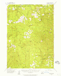
1955 Map of Quartz Mtn
USGS Topo · Published 1957About this map
Umpqua National Forest land defines this mid-1950s survey of Douglas County, where the South Umpqua River and Little River carve through a landscape of high lookouts and isolated ranching outposts. Remote administrative and fire-watch infrastructure is prominent, including the South Umpqua Guard Sta, Quartz Mtn Guard Sta, and several strategic observation points like Acker Rock Lookout and Coyote Point Lookout. Private holdings like the Erlsbach Ranch and Emerson Ranch sit near the riverbanks, representing the small-scale settlement presence in this timber-rich region. The map also traces a network of wilderness paths and shelters essential for early forest management and recreation, such as the Strouds Mine Trail, the Snowbird Shelter, and the curiously named Camp Coffee Pot. This snapshot precedes much of the modern road development, showing a reliance on trails and fire-watch stations.
Find a feature on this map
108 named features on this map. Tap any name to fly to it.
Don’t see what you’re looking for? This feature index may not catch every label — zoom into the map to look around manually.
Map Details
Editions of this 1955 Quartz Mtn Map
2 editions found
Other maps of this area

1891 · Ashland
USGS Topo · 1:250,000

1893 · Ashland
USGS Topo · 1:250,000

1897 · Ashland
USGS Topo · 1:250,000

1917 · Diamond Lake
USGS Topo · 1:125,000
1944 · Tiller
USGS Topo · 1:62,500
1944 · Abbott Butte
USGS Topo · 1:62,500

1947 · Abbott Butte
USGS Topo · 1:62,500
1955 · Red Butte
USGS Topo · 1:62,500
1955 · Mace Mtn
USGS Topo · 1:62,500
1955 · Illahee Rock
USGS Topo · 1:62,500