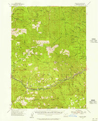
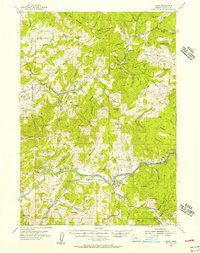
1955 Map of Mace Mtn
USGS Topo · Published 1957About this map
Umpqua Nat For dominates this mid-century survey of Douglas County, revealing a landscape defined by forest management and outdoor recreation. The network of service outposts, including the Rock Cr Guard Sta and Wolf Creek Guard Sta, alongside several shelters like Pass Cr Shelter and Canton Shelter, suggests the vital role of the forest service in maintaining these mountain corridors. At higher elevations, landmarks such as Huckleberry Lookout and Mace Mtn overlook a complex drainage system fed by the North Fork and Steamboat Creek.
Find a feature on this map
83 named features on this map. Tap any name to fly to it.
Don’t see what you’re looking for? This feature index may not catch every label — zoom into the map to look around manually.
Map Details
Editions of this 1955 Mace Mtn Map
2 editions found
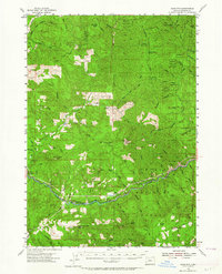
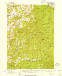
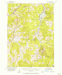
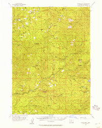
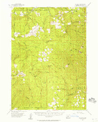
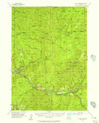
Other maps of this area

1897 · Roseburg
USGS Topo · 1:125,000

1900 · Roseburg
USGS Topo · 1:125,000

1935 · Lowell
USGS Topo · 1:96,000

1942 · Lowell
USGS Topo · 1:125,000
1954 · Dixonville
USGS Topo · 1:62,500
1954 · Anlauf
USGS Topo · 1:62,500
1954 · Glide
USGS Topo · 1:62,500
1955 · Quartz Mtn
USGS Topo · 1:62,500
1955 · Red Butte
USGS Topo · 1:62,500
1955 · Illahee Rock
USGS Topo · 1:62,500