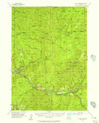
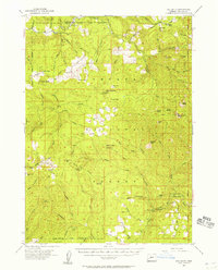
1955 Map of Illahee Rock
USGS Topo · Published 1957About this map
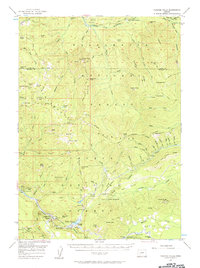
The North Fork Umpqua River snakes through this high-country landscape, serving as the primary corridor for movement and activity in the mid-1950s. The region is defined by a network of forest service outposts and backcountry camps, including the Illahee Guard Sta and the settlement at Steamboat. The presence of numerous shelters such as Bona Fide Shelter and Chilcoot Junction Shelter suggests a territory managed for both timber and early recreational access. Notable landmarks like the Devil Stairway and Steamboat Falls indicate the dramatic elevation changes that characterize the Umpqua region. For historians and genealogists, the map preserves the locations of family-named sites and early administrative cabins, such as Winslow Cabin Spring and Dry Creek Cabin, before modern development altered these remote reaches of Douglas County.
Find a feature on this map
125 named features on this map. Tap any name to fly to it.
Don’t see what you’re looking for? This feature index may not catch every label — zoom into the map to look around manually.
Map Details
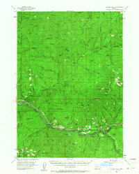
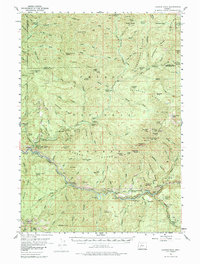
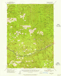
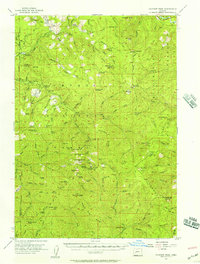
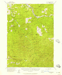
Editions of this 1955 Illahee Rock Map
3 editions found
Other maps of this area

1917 · Diamond Lake
USGS Topo · 1:125,000

1925 · Waldo Lake
USGS Topo · 1:125,000

1935 · Lowell
USGS Topo · 1:96,000

1942 · Lowell
USGS Topo · 1:125,000
1955 · Quartz Mtn
USGS Topo · 1:62,500
1955 · Red Butte
USGS Topo · 1:62,500
1955 · Mace Mtn
USGS Topo · 1:62,500
1955 · Fairview Peak
USGS Topo · 1:62,500
1955 · Culp Creek
USGS Topo · 1:62,500
1956 · Toketee Falls
USGS Topo · 1:62,500