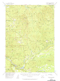
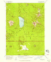
1956 Map of Toketee Falls
USGS Topo · Published 1956About this map
The North Umpqua River and Middle Fork Willamette River headwaters define this mid-century look at the high Cascades. The map documents a period of active forest management and hydroelectric development within the Willamette National Forest, centered on the installation of the Toketee Falls Powerhouse and its associated reservoir. Settlement is sparse, represented by seasonal outposts like Campers Flat and the Rigdon Guard Station.
Find a feature on this map
76 named features on this map. Tap any name to fly to it.
Don’t see what you’re looking for? This feature index may not catch every label — zoom into the map to look around manually.
Map Details
Editions of this 1956 Toketee Falls Map
2 editions found
Other maps of this area

1917 · Diamond Lake
USGS Topo · 1:125,000

1925 · Waldo Lake
USGS Topo · 1:125,000

1935 · Lowell
USGS Topo · 1:96,000

1942 · Lowell
USGS Topo · 1:125,000
1955 · Quartz Mtn
USGS Topo · 1:62,500
1955 · Illahee Rock
USGS Topo · 1:62,500
1955 · Fairview Peak
USGS Topo · 1:62,500
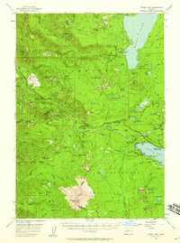
1956 · Diamond Lake
USGS Topo · 1:62,500
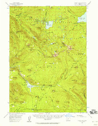
1956 · Waldo Lake
USGS Topo · 1:62,500
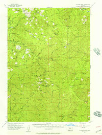
1956 · Summit Lake
USGS Topo · 1:62,500