
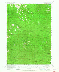
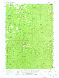
1955 Map of Fairview Peak
USGS Topo · Published 1957About this map
Fairview Peak stands as the central anchor of this mid-century survey, surrounded by a landscape defined by the mining legacy of the Cascade Range. The concentration of workings around Bohemia Mountain, including the Champion, Musick, and Noonday Mine, reveals an active industrial history tucked into the steep drainages of the Willamette National Forest and Umpqua National Forest. These mines are connected by a network of trails and roads that follow the ridges, such as Monte Rico Ridge, and the deep valleys carved by Brice Creek and Steamboat Creek.
Find a feature on this map
101 named features on this map. Tap any name to fly to it.
Don’t see what you’re looking for? This feature index may not catch every label — zoom into the map to look around manually.
Map Details
Editions of this 1955 Fairview Peak Map
3 editions found
Other maps of this area

1917 · Diamond Lake
USGS Topo · 1:125,000

1925 · Waldo Lake
USGS Topo · 1:125,000

1935 · Lowell
USGS Topo · 1:96,000

1942 · Lowell
USGS Topo · 1:125,000

1955 · Hardesty Mtn
USGS Topo · 1:62,500

1955 · Mace Mtn
USGS Topo · 1:62,500

1955 · Illahee Rock
USGS Topo · 1:62,500

1955 · Culp Creek
USGS Topo · 1:62,500

1955 · Lowell
USGS Topo · 1:62,500

1956 · Toketee Falls
USGS Topo · 1:62,500