
1955 Map of Lowell
USGS Topo · Published 1958About this map
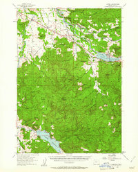
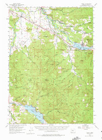
The Middle Fork Willamette River and its major tributaries anchor this mid-century survey of Lane County. The landscape is defined by its transition from valley agricultural lands near Pleasant Hill and Jasper to the heavily timbered reaches of the Willamette National Forest. Significant mid-century infrastructure is evident in the recently established Dexter Reservoir and Dorena Reservoir, which reshaped the local topography and forced the relocation of traditional routes. The industrial character of the era is marked by the Southern Pacific Railroad following the river and the Oregon Pacific and Eastern Railway skirting the southern edge.
Find a feature on this map
68 named features on this map. Tap any name to fly to it.
Don’t see what you’re looking for? This feature index may not catch every label — zoom into the map to look around manually.
Map Details
Editions of this 1955 Lowell Map
3 editions found
Other maps of this area

1910 · Eugene
USGS Topo · 1:62,500

1921 · Cottage Grove
USGS Topo · 1:62,500

1935 · Lowell
USGS Topo · 1:96,000

1940 · Eugene
USGS Topo · 1:62,500

1942 · Lowell
USGS Topo · 1:125,000

1946 · Eugene
USGS Topo · 1:62,500

1949 · Eugene
USGS Topo · 1:62,500

1950 · Marcola
USGS Topo · 1:62,500

1951 · Leaburg
USGS Topo · 1:62,500

1952 · Marcola
USGS Topo · 1:62,500