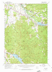
1955 Map of Lowell
USGS Topo · Published 1975About this map
The Middle Fork Willamette River defines the geography of this mid-1950s survey, showing a landscape transitioning as new infrastructure meets established rural communities. The newly formed Dexter Reservoir and Dorena Lake appear alongside the timber and transport hubs of Lowell and Dexter. The Southern Pacific Railroad winds through the river canyon, passing Dexter Siding and Fall Creek Station, while the Willamette Highway provides the primary road artery. Local life is grounded in long-standing institutions such as the Cloverdale Ch, Cloverdale Sch, and Cloverdale Cem. Beyond the river valleys, the terrain rises into prominent peaks like Round Mtn and Bear Mtn, where Castle Rock Lookout stands watch. This era captures the region at a moment where traditional rail-side settlements began to integrate with major water-management projects.
Find a feature on this map
67 named features on this map. Tap any name to fly to it.
Don’t see what you’re looking for? This feature index may not catch every label — zoom into the map to look around manually.
Map Details
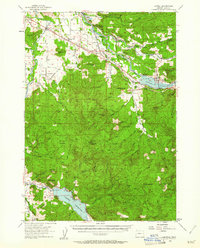
Editions of this 1955 Lowell Map
3 editions found

Other maps of this area

1910 · Eugene
USGS Topo · 1:62,500

1921 · Cottage Grove
USGS Topo · 1:62,500

1935 · Lowell
USGS Topo · 1:96,000

1940 · Eugene
USGS Topo · 1:62,500

1942 · Lowell
USGS Topo · 1:125,000

1946 · Eugene
USGS Topo · 1:62,500

1949 · Eugene
USGS Topo · 1:62,500

1950 · Marcola
USGS Topo · 1:62,500

1951 · Leaburg
USGS Topo · 1:62,500

1952 · Marcola
USGS Topo · 1:62,500