
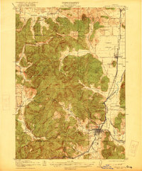
1921 Map of Cottage Grove
USGS Topo · Published 1921About this map
Cottage Grove serves as the primary hub of activity in this 1918–1919 survey, situated at the confluence of the Coast Fork Willamette River and the Southern Pacific and Eastern Railroad. The landscape is a study in diverse terrain, transitioning from the broad drainage of the Willamette River and the flat expanse of Camas Swale to the prominent heights of Spencer Butte and McFarland Butte. The distribution of rural education is notably preserved here through the locations of the Spencer Creek School, La Blue School, and the uniquely named Green Door School.
Find a feature on this map
36 named features on this map. Tap any name to fly to it.
Don’t see what you’re looking for? This feature index may not catch every label — zoom into the map to look around manually.
Map Details
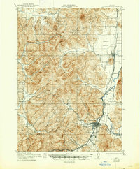
Editions of this 1921 Cottage Grove Map
3 editions found
Other maps of this area

1909 · Elmira
USGS Topo · 1:62,500

1910 · Eugene
USGS Topo · 1:62,500

1922 · Elmira
USGS Topo · 1:62,500

1935 · Lowell
USGS Topo · 1:96,000

1940 · Eugene
USGS Topo · 1:62,500

1942 · Lowell
USGS Topo · 1:125,000

1942 · Elmira
USGS Topo · 1:62,500

1942 · Crow
USGS Topo · 1:62,500

1945 · Crow
USGS Topo · 1:62,500

1946 · Eugene
USGS Topo · 1:62,500