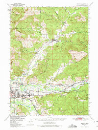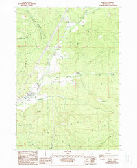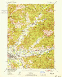
1952 Map of Marcola
USGS Topo · Published 1952About this map
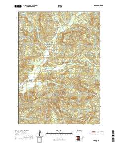
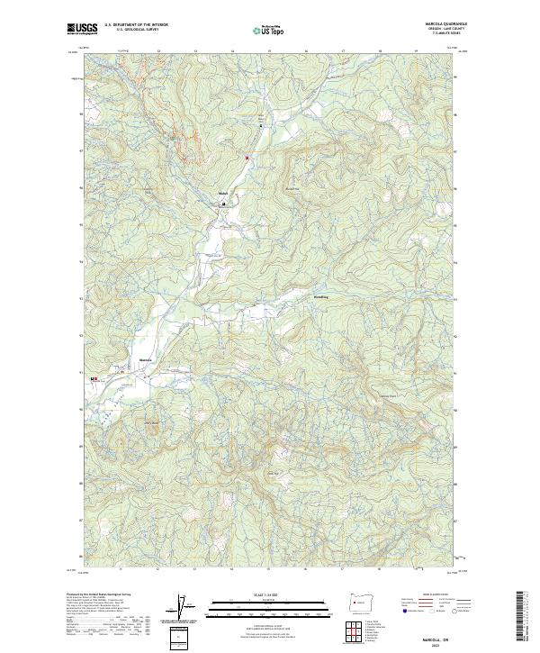
The Mohawk River valley and its surrounding timberlands are defined here by a network of small logging and farming communities during the early 1950s. The Southern Pacific railroad line serves as a central spine for the region, connecting the lumber town of Wendling and the settlement of Marcola to the industrial hub of Springfield. This rail corridor mirrors the winding path of the river, highlighting the historic dependence of the local economy on both water and rail transportation for moving timber from the Cascades toward the Willamette River Middle Fork.
Find a feature on this map
60 named features on this map. Tap any name to fly to it.
Don’t see what you’re looking for? This feature index may not catch every label — zoom into the map to look around manually.
Map Details
Editions of this 1952 Marcola Map
This is the sole edition of this map. No revisions or reprints were ever made.
Historical Maps of Springfield Through Time
8 maps found