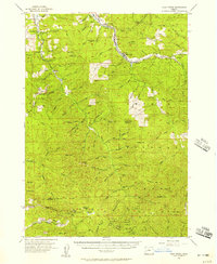
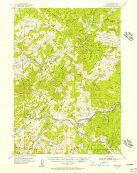
1955 Map of Culp Creek
USGS Topo · Published 1957About this map
The Row River valley serves as the primary corridor for settlement and industry in this mid-1950s survey of eastern Lane County. Communities such as Dorena, Culp Creek, and Disston are linked by the Oregon and Eastern Railroad, which follows the river's path into the foothills. The landscape is defined by its transition from valley floor to the high peaks of the Umpqua National Forest, where fire lookouts like Shirley Gay Lookout and Huckleberry Lookout occupy strategic high ground. Local history is anchored by landmarks such as the Broumbaugh Cem and the Dorena School, while high-altitude features like Lower Elk Meadows and Silica Camp indicate the reach of resource management and early recreation into the mountain interior. The map illustrates a developed logging and rail economy, with numerous creeks—including Brice Creek and Sharps Creek—draining the timber-rich slopes that define the region's character.
Find a feature on this map
102 named features on this map. Tap any name to fly to it.
Don’t see what you’re looking for? This feature index may not catch every label — zoom into the map to look around manually.
Map Details
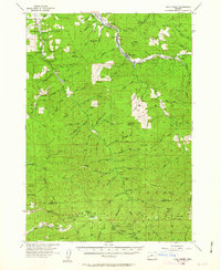
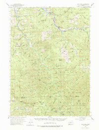
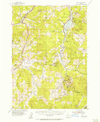
Editions of this 1955 Culp Creek Map
3 editions found
Other maps of this area

1897 · Roseburg
USGS Topo · 1:125,000

1900 · Roseburg
USGS Topo · 1:125,000

1921 · Cottage Grove
USGS Topo · 1:62,500

1935 · Lowell
USGS Topo · 1:96,000

1942 · Lowell
USGS Topo · 1:125,000
1954 · Anlauf
USGS Topo · 1:62,500
1954 · Glide
USGS Topo · 1:62,500
1955 · Hardesty Mtn
USGS Topo · 1:62,500
1955 · Mace Mtn
USGS Topo · 1:62,500
1955 · Illahee Rock
USGS Topo · 1:62,500