
1955 Map of Hardesty Mtn
USGS Topo · Published 1957About this map
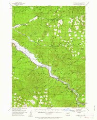
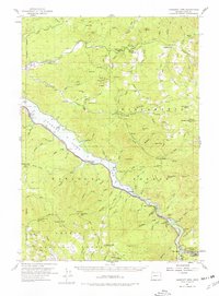
Lookout Point Reservoir dominates this mid-century landscape in the Willamette National Forest, following the 1953 aerial survey of the region. The map documents a critical period of infrastructure development along the Southern Pacific rail line, which skirts the reservoir's northern edge through small sidings and settlements like Minnow and Crale. Near the southeastern corner, the mill town of Westfir is shown in detail, including the location of the Westfir HS and the rail terminus near the North Fork of the Middle Fork Willamette River.
Find a feature on this map
83 named features on this map. Tap any name to fly to it.
Don’t see what you’re looking for? This feature index may not catch every label — zoom into the map to look around manually.
Map Details
Editions of this 1955 Hardesty Mtn Map
3 editions found
Other maps of this area

1925 · Waldo Lake
USGS Topo · 1:125,000

1934 · Mc Kenzie Bridge
USGS Topo · 1:96,000

1935 · Lowell
USGS Topo · 1:96,000

1940 · Mc Kenzie Bridge
USGS Topo · 1:125,000

1942 · Lowell
USGS Topo · 1:125,000

1950 · Marcola
USGS Topo · 1:62,500

1951 · Leaburg
USGS Topo · 1:62,500

1952 · Marcola
USGS Topo · 1:62,500

1953 · Salem
USGS Topo · 1:250,000

1954 · Salem
USGS Topo · 1:250,000