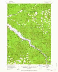
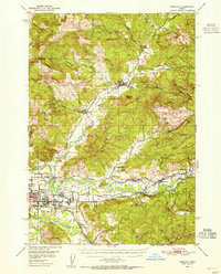
1955 Map of Hardesty Mtn
USGS Topo · Published 1963About this map
Lookout Point Reservoir dominates this mid-century view of the Cascades, where the Southern Pacific railroad tracks parallel the water's edge. The industrial and educational heart of the area is centered at Westfir, where the Westfir HS serves the local timber and rail community. Small rail-side points like Hampton, Crale, and Minnow trace the transportation network along the Middle Fork Willamette River.
Find a feature on this map
108 named features on this map. Tap any name to fly to it.
Don’t see what you’re looking for? This feature index may not catch every label — zoom into the map to look around manually.
Map Details
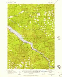
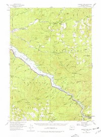
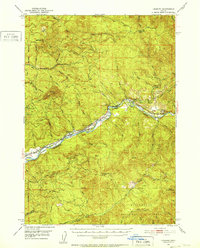
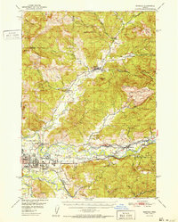
Editions of this 1955 Hardesty Mtn Map
3 editions found
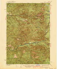
Other maps of this area

1925 · Waldo Lake
USGS Topo · 1:125,000

1934 · Mc Kenzie Bridge
USGS Topo · 1:96,000

1935 · Lowell
USGS Topo · 1:96,000
1940 · Mc Kenzie Bridge
USGS Topo · 1:125,000

1942 · Lowell
USGS Topo · 1:125,000
1950 · Marcola
USGS Topo · 1:62,500
1951 · Leaburg
USGS Topo · 1:62,500
1952 · Marcola
USGS Topo · 1:62,500

1953 · Salem
USGS Topo · 1:250,000

1954 · Salem
USGS Topo · 1:250,000