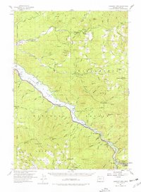
1955 Map of Hardesty Mtn
USGS Topo · Published 1978About this map
Lookout Point Lake dominates the central landscape of this mid-century survey, tracing the narrow valley floor where the Southern Pacific railroad and Willamette Highway parallel the water. The map documents a period of significant infrastructure development within the Willamette National Forest, as the reservoir and transportation corridor transformed the accessibility of the surrounding mountain ranges. High-elevation points like Hardesty Mtn and Eagles Rest offer geographical context to the drainage basins of Winberry Creek and Fall Creek. In the southeast, the company town of Westfir is shown with its specific community markers, including the Westfir HS, while recreation sites such as Dolly Varden Campground and Shady Dell Camp dot the creeks and riverbanks. This record is particularly valuable for tracing the alignment of the railroad through the Lookout Point Tunnel and identifying small station points like Minnow and Hampton along the historic rail line.
Find a feature on this map
93 named features on this map. Tap any name to fly to it.
Don’t see what you’re looking for? This feature index may not catch every label — zoom into the map to look around manually.
Map Details
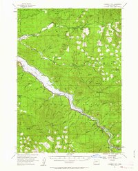
Editions of this 1955 Hardesty Mtn Map
3 editions found

Other maps of this area

1925 · Waldo Lake
USGS Topo · 1:125,000

1934 · Mc Kenzie Bridge
USGS Topo · 1:96,000

1935 · Lowell
USGS Topo · 1:96,000

1940 · Mc Kenzie Bridge
USGS Topo · 1:125,000

1942 · Lowell
USGS Topo · 1:125,000

1950 · Marcola
USGS Topo · 1:62,500

1951 · Leaburg
USGS Topo · 1:62,500

1952 · Marcola
USGS Topo · 1:62,500

1953 · Salem
USGS Topo · 1:250,000

1954 · Salem
USGS Topo · 1:250,000