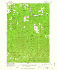
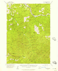
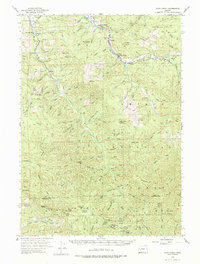
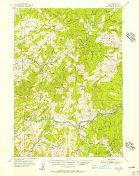
1955 Map of Culp Creek
USGS Topo · Published 1963About this map
Dorena and Culp Creek anchor this mid-century survey of the Row River watershed, capturing the region just as the Dorena Res had reshaped the local drainage. The presence of the Oregon Pacific and Eastern Ry snaking through the valley toward Disston underscores the timber-driven economy of the era, while private logging roads like Simpson Road and the Wind Fall Adverse penetrate deep into the surrounding high country. Local heritage is preserved in landmarks such as the Broumbaugh Cem and the Blue Mtn Sch, alongside the sprawling boundaries of the Umpqua National Forest. To the south, high-elevation points like Snow Peak and Huckleberry Mtn rise above Silica Camp, where the Lane and Douglas County line marks the limit of the quadrangle's reach into the western Cascades.
Find a feature on this map
109 named features on this map. Tap any name to fly to it.
Don’t see what you’re looking for? This feature index may not catch every label — zoom into the map to look around manually.
Map Details
Editions of this 1955 Culp Creek Map
3 editions found
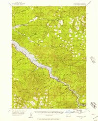
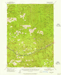
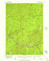
Other maps of this area

1897 · Roseburg
USGS Topo · 1:125,000

1900 · Roseburg
USGS Topo · 1:125,000

1921 · Cottage Grove
USGS Topo · 1:62,500

1935 · Lowell
USGS Topo · 1:96,000

1942 · Lowell
USGS Topo · 1:125,000
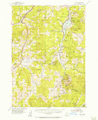
1954 · Anlauf
USGS Topo · 1:62,500
1954 · Glide
USGS Topo · 1:62,500
1955 · Hardesty Mtn
USGS Topo · 1:62,500
1955 · Mace Mtn
USGS Topo · 1:62,500
1955 · Illahee Rock
USGS Topo · 1:62,500