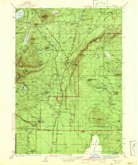
1956 Map of Summit Lake
USGS Topo · Published 1958About this map
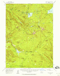
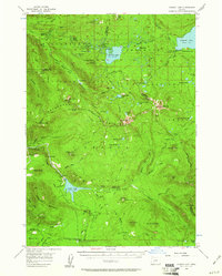
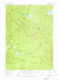
Summit Lake lies at the high divide of the Oregon Cascades, where the headwaters of major river systems converge. This mid-century survey captures a landscape of intense hydraulic management and recreation, evidenced by the Lemolo Reservoir and the Umpqua Canal winding near Lemolo Falls. The map documents a critical infrastructure era when forest camps like Emigrant Forest Camp and Lake Cr Forest Camp were establishing the region as a recreational destination. The convergence of three national forests—Willamette, Deschutes, and Umpqua—highlights the area's importance for timber and water resources. High-altitude crossings like Willamette Pass and Windigo Pass facilitate movement through the peaks, while the Skyline Trail traces the spine of the Calapooya Mountains, connecting isolated features like Dread and Terror Ridge and Pumice Flat.
Find a feature on this map
107 named features on this map. Tap any name to fly to it.
Don’t see what you’re looking for? This feature index may not catch every label — zoom into the map to look around manually.
Map Details
Editions of this 1956 Summit Lake Map
3 editions found
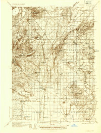
Other maps of this area

1917 · Diamond Lake
USGS Topo · 1:125,000

1925 · Waldo Lake
USGS Topo · 1:125,000

1930 · Maiden Peak
USGS Topo · 1:125,000

1934 · Maiden Peak
USGS Topo · 1:125,000
1935 · Chemult
USGS Topo · 1:96,000
1941 · Chemult
USGS Topo · 1:125,000

1955 · Crescent
USGS Topo · 1:250,000
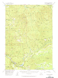
1956 · Toketee Falls
USGS Topo · 1:62,500
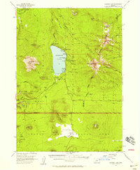
1956 · Diamond Lake
USGS Topo · 1:62,500
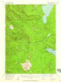
1956 · Waldo Lake
USGS Topo · 1:62,500