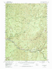
1955 Map of Illahee Rock
USGS Topo · Published 1985About this map
Illahee Rock and the high ridges of the Cascades dominate this mid-century survey of the Umpqua River headwaters. The map documents a wilderness transitioning into a managed timber and recreation resource, characterized by a network of lookouts and shelters such as Chilcoot Mtn and the Fairy Shelter. Along the river banks, established sites like Apple Creek Forest Camp and the Illahee Guard Sta provide evidence of early Forest Service administration in the area.
Find a feature on this map
140 named features on this map. Tap any name to fly to it.
Don’t see what you’re looking for? This feature index may not catch every label — zoom into the map to look around manually.
Map Details
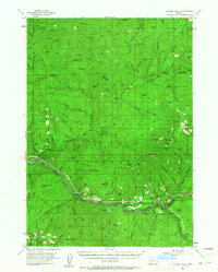
Editions of this 1955 Illahee Rock Map
3 editions found
Other maps of this area

1917 · Diamond Lake
USGS Topo · 1:125,000

1925 · Waldo Lake
USGS Topo · 1:125,000

1935 · Lowell
USGS Topo · 1:96,000

1942 · Lowell
USGS Topo · 1:125,000

1955 · Quartz Mtn
USGS Topo · 1:62,500

1955 · Red Butte
USGS Topo · 1:62,500

1955 · Mace Mtn
USGS Topo · 1:62,500

1955 · Illahee Rock
USGS Topo · 1:62,500

1955 · Fairview Peak
USGS Topo · 1:62,500

1955 · Culp Creek
USGS Topo · 1:62,500