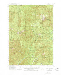
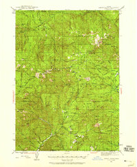
1944 Map of Abbott Butte
USGS Topo · Published 1981About this map
Abbott Butte stands as a prominent landmark at the intersection of the Umpqua National Forest and Rogue River National Forest during the mid-1940s. The landscape is defined by a network of resource management and early backcountry settlement, evidenced by the presence of the Dumont Ranger Sta, Matthews Guard Sta, and the Hawk Creek Sta. These locations served as critical hubs for foresters and fire lookouts throughout the Cascade Range.
Find a feature on this map
111 named features on this map. Tap any name to fly to it.
Don’t see what you’re looking for? This feature index may not catch every label — zoom into the map to look around manually.
Map Details
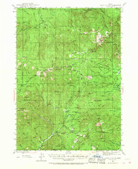
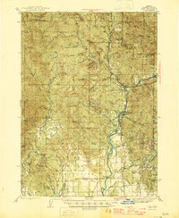
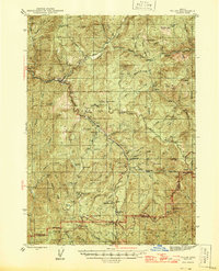
Editions of this 1944 Abbott Butte Map
3 editions found
Other maps of this area

1891 · Ashland
USGS Topo · 1:250,000

1893 · Ashland
USGS Topo · 1:250,000

1897 · Ashland
USGS Topo · 1:250,000

1917 · Diamond Lake
USGS Topo · 1:125,000
1943 · Trail
USGS Topo · 1:62,500
1944 · Tiller
USGS Topo · 1:62,500
1944 · Abbott Butte
USGS Topo · 1:62,500

1947 · Abbott Butte
USGS Topo · 1:62,500
1954 · Butte Falls
USGS Topo · 1:62,500
1955 · Quartz Mtn
USGS Topo · 1:62,500