
1954 Map of Lakecreek
USGS Topo · Published 1956About this map
Lakecreek serves as a central point in this mid-century portrait of Jackson County, where the North Fork and South Fork converge. The landscape is defined by its water systems and mountain peaks, including the prominent Grizzly Pk and Heppsie Mtn. Settlement is concentrated along the creek valleys at Brownsboro and the site of Shale City, with much of the eastern terrain falling within the Rogue River National Forest.
Find a feature on this map
30 named features on this map. Tap any name to fly to it.
Don’t see what you’re looking for? This feature index may not catch every label — zoom into the map to look around manually.
Map Details
Editions of this 1954 Lakecreek Map
3 editions found
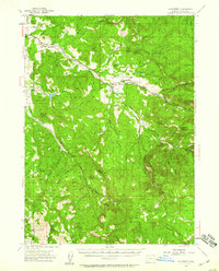
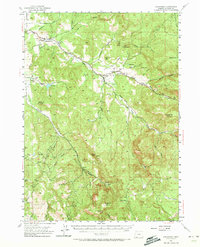
Other maps of this area

1891 · Ashland
USGS Topo · 1:250,000

1893 · Ashland
USGS Topo · 1:250,000

1897 · Ashland
USGS Topo · 1:250,000

1938 · Medford
USGS Topo · 1:125,000

1943 · Trail
USGS Topo · 1:62,500

1954 · Medford
USGS Topo · 1:62,500

1954 · Butte Falls
USGS Topo · 1:62,500

1954 · Talent
USGS Topo · 1:62,500

1954 · Ashland
USGS Topo · 1:62,500

1955 · Rustler Peak
USGS Topo · 1:62,500