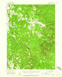
1954 Map of Lakecreek
USGS Topo · Published 1960About this map
Lakecreek and Brownsboro serve as the primary hubs for this Jackson County landscape in the mid-1950s, centered on the converging forks of Little Butte Creek. The map documents a rural network of high-elevation ridges and deep canyons, where small settlements like Climax and Shale City appear alongside essential water management infrastructure. Notable water features include the Yankee Creek Reservoir and the Yankee Creek Siphon, reflecting the region's reliance on managed water systems.
Find a feature on this map
39 named features on this map. Tap any name to fly to it.
Don’t see what you’re looking for? This feature index may not catch every label — zoom into the map to look around manually.
Map Details
Editions of this 1954 Lakecreek Map
3 editions found
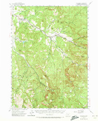
Other maps of this area

1891 · Ashland
USGS Topo · 1:250,000

1893 · Ashland
USGS Topo · 1:250,000

1897 · Ashland
USGS Topo · 1:250,000

1938 · Medford
USGS Topo · 1:125,000

1943 · Trail
USGS Topo · 1:62,500

1954 · Medford
USGS Topo · 1:62,500

1954 · Butte Falls
USGS Topo · 1:62,500

1954 · Lakecreek
USGS Topo · 1:62,500

1954 · Talent
USGS Topo · 1:62,500

1954 · Ashland
USGS Topo · 1:62,500