
1974 Map of Medford NE
USGS Topo · Published 1979About this map
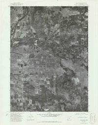
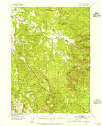
Eagle Point serves as a primary population center in this orthophotomap, which utilizes 1974 aerial imagery to show the evolving landscape of Jackson County. The imagery reveals a transition from the structured residential and industrial layout of White City to the surrounding agricultural and riparian terrain. The dense grid patterns and infrastructure around Four Corners contrast with the natural flow of the local river systems and the patchwork of orchards and fields that defined the region’s economy during the mid-1970s. This aerial perspective is particularly valuable for documenting land use and the specific footprint of these communities before later decades of suburban development changed the character of the Rogue Valley.
Find a feature on this map
3 named features on this map. Tap any name to fly to it.
Don’t see what you’re looking for? This feature index may not catch every label — zoom into the map to look around manually.
Map Details
Editions of this 1974 Medford NE Map
2 editions found
Other maps of this area

1891 · Ashland
USGS Topo · 1:250,000

1893 · Ashland
USGS Topo · 1:250,000

1897 · Ashland
USGS Topo · 1:250,000

1938 · Medford
USGS Topo · 1:125,000
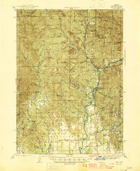
1943 · Trail
USGS Topo · 1:62,500
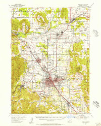
1954 · Medford
USGS Topo · 1:62,500
1954 · Butte Falls
USGS Topo · 1:62,500
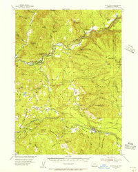
1954 · Lakecreek
USGS Topo · 1:62,500

1955 · Medford
USGS Topo · 1:250,000

1957 · Medford
USGS Topo · 1:250,000