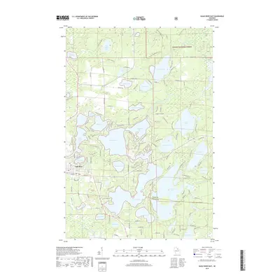
2018 Map of Eagle River East
USGS Topo · Published 2018About this map
Eagle River anchors the western edge of this 2018 survey, serving as the gateway to a dense labyrinth of glacial lakes and waterways in northern Wisconsin. The landscape is defined by the high concentration of interconnected water bodies, including the central expanse of Eagle Lake and the branching reaches of Scattering Rice Lake. The northern section is dominated by the Nicolet National Forest, where the Deerskin River and Little Deerskin River wind through protected timberlands.
Find a feature on this map
150 named features on this map. Tap any name to fly to it.
Don’t see what you’re looking for? This feature index may not catch every label — zoom into the map to look around manually.
Map Details
Editions of this 2018 Eagle River East Map
This is the sole edition of this map. No revisions or reprints were ever made.
Other maps of this area
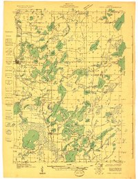
1928 · Three Lakes
USGS Topo · 1:48,000
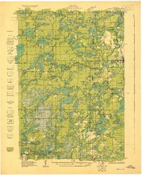
1930 · Robbins
USGS Topo · 1:48,000
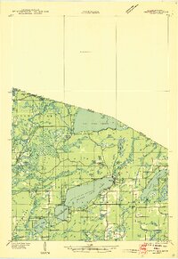
1938 · Phelps
USGS Topo · 1:48,000
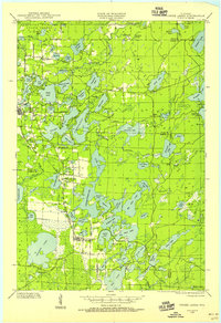
1938 · Three Lakes
USGS Topo · 1:48,000
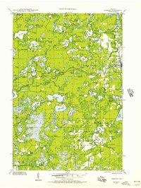
1938 · Robbins
USGS Topo · 1:48,000
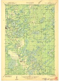
1945 · Three Lakes
USGS Topo · 1:48,000
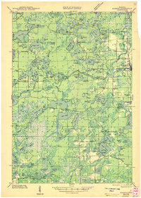
1945 · Robbins
USGS Topo · 1:48,000
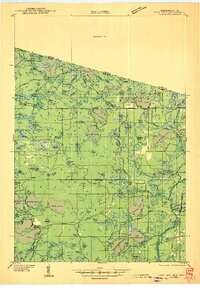
1946 · Star Lake
USGS Topo · 1:48,000
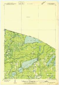
1950 · Phelps
USGS Topo · 1:48,000
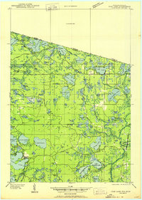
1950 · Star Lake
USGS Topo · 1:48,000