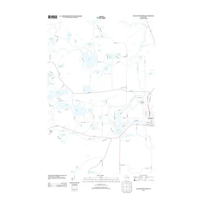
2013 Map of Eagle River West
USGS Topo · Published 2013About this map
The Wisconsin River meanders through this portion of the Northwoods, feeding into a complex network of glacial lakes and wetlands just west of the city of Eagle River. The landscape is defined by its water-rich geography, where the river connects to prominent bodies like Watersmeet Lake and Lost River. This 2013 survey illustrates the developed recreation and transport corridors that support the region's tourism-based economy, notably the Eagle River Union Airport and the Otter Rapids Golf Course along the river's southern bend. The dense concentration of smaller named lakes, including Snipe Lake, Boot Lake, and Chickaree Lake, reveals the character of the kettle-and-kame topography. To the south, Kathan Lake and Lake Aidenn mark the transition toward the northern reaches of Oneida County, while a grid of local roads like Adams Rd and Peninsula Rd provides access to seasonal residences and shoreline developments.
Find a feature on this map
95 named features on this map. Tap any name to fly to it.
Don’t see what you’re looking for? This feature index may not catch every label — zoom into the map to look around manually.
Map Details
Editions of this 2013 Eagle River West Map
This is the sole edition of this map. No revisions or reprints were ever made.
Other maps of this area

1928 · Three Lakes
USGS Topo · 1:48,000

1930 · Robbins
USGS Topo · 1:48,000

1938 · Phelps
USGS Topo · 1:48,000

1938 · Three Lakes
USGS Topo · 1:48,000

1938 · Robbins
USGS Topo · 1:48,000

1945 · Three Lakes
USGS Topo · 1:48,000

1945 · Robbins
USGS Topo · 1:48,000

1946 · Star Lake
USGS Topo · 1:48,000

1950 · Phelps
USGS Topo · 1:48,000

1950 · Star Lake
USGS Topo · 1:48,000