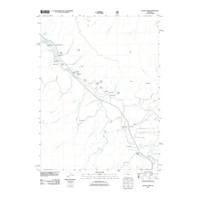
2011 Map of Eagle Roost
USGS Topo · Published 2011About this map
Slate Creek serves as a central hub in this high-elevation landscape, where the Blue River carves a deep path toward the Green Mountain Reservoir in the northwest. The terrain is defined by dramatic local relief, rising from the river valley to prominent summits like Eagle Roost, Flat Top, and Palmer Knob. This 2011 survey captures the area’s dual identity as a recreational corridor and a historic mining district, evidenced by the clustered campgrounds of McDonald Flats, Prairie Point, and Davis Springs along the reservoir's edge, contrasted with industrial remnants such as the Big Four Mine.
Find a feature on this map
67 named features on this map. Tap any name to fly to it.
Don’t see what you’re looking for? This feature index may not catch every label — zoom into the map to look around manually.
Map Details
Editions of this 2011 Eagle Roost Map
This is the sole edition of this map. No revisions or reprints were ever made.
Other maps of this area

1929 · Dillon
USGS Topo · 1:62,500

1933 · Mt. Powell
USGS Topo · 1:48,000

1933 · Ute Peak
USGS Topo · 1:62,500

1934 · Minturn
USGS Topo · 1:62,500

1934 · Dillon
USGS Topo · 1:62,500

1937 · Ute Peak
USGS Topo · 1:62,500

1940 · Mount Powell
USGS Topo · 1:62,500

1950 · Minturn
USGS Topo · 1:62,500

1957 · Leadville
USGS Topo · 1:250,000

1959 · Leadville
USGS Topo · 1:250,000