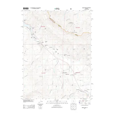
2013 Map of Eagle Roost
USGS Topo · Published 2013About this map
Green Mountain Reservoir dominates the northwestern corner of this mountain landscape, where the Blue River flows through the high country of the Arapaho National Forest and White River National Forest. The map documents a rugged intersection of hydrology and topography along the Grand and Summit County line, featuring prominent elevations like Williams Peak and the Williams Fork Mountains.
Find a feature on this map
80 named features on this map. Tap any name to fly to it.
Don’t see what you’re looking for? This feature index may not catch every label — zoom into the map to look around manually.
Map Details
Editions of this 2013 Eagle Roost Map
This is the sole edition of this map. No revisions or reprints were ever made.
Other maps of this area

1929 · Dillon
USGS Topo · 1:62,500

1933 · Mt. Powell
USGS Topo · 1:48,000

1933 · Ute Peak
USGS Topo · 1:62,500

1934 · Minturn
USGS Topo · 1:62,500

1934 · Dillon
USGS Topo · 1:62,500

1937 · Ute Peak
USGS Topo · 1:62,500

1940 · Mount Powell
USGS Topo · 1:62,500

1950 · Minturn
USGS Topo · 1:62,500

1957 · Leadville
USGS Topo · 1:250,000

1959 · Leadville
USGS Topo · 1:250,000