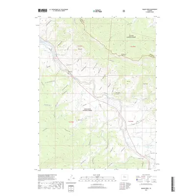
2019 Map of Eagle Roost
USGS Topo · Published 2019About this map
Williams Fork Mountains dominate the northeastern portion of this High Country landscape, where the high-altitude divide between Arapaho National Forest and White River National Forest meets the boundary of Grand and Summit counties. The terrain is deeply incised by a network of gulches including Cottonwood Gulch, McDonald Gulch, and Kansas Gulch, the latter containing a notable mountain cemetery. To the west, the reach of Green Mountain Reservoir and the Blue River define the lower elevations. The map reveals an intricate system of backcountry access points like Heeney Road and Brush Creek Road, which transition into hiking routes such as the Gore Range Trail and Slate Creek Trail. These paths trace the drainage basins of Slate Creek and Squaw Creek, connecting named landmarks like Palmer Knob and Target Bluff.
Find a feature on this map
59 named features on this map. Tap any name to fly to it.
Don’t see what you’re looking for? This feature index may not catch every label — zoom into the map to look around manually.
Map Details
Editions of this 2019 Eagle Roost Map
This is the sole edition of this map. No revisions or reprints were ever made.
Other maps of this area

1929 · Dillon
USGS Topo · 1:62,500

1933 · Mt. Powell
USGS Topo · 1:48,000

1933 · Ute Peak
USGS Topo · 1:62,500

1934 · Minturn
USGS Topo · 1:62,500

1934 · Dillon
USGS Topo · 1:62,500

1937 · Ute Peak
USGS Topo · 1:62,500

1940 · Mount Powell
USGS Topo · 1:62,500

1950 · Minturn
USGS Topo · 1:62,500

1957 · Leadville
USGS Topo · 1:250,000

1959 · Leadville
USGS Topo · 1:250,000