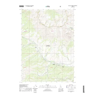
2020 Map of Easley Hot Springs
USGS Topo · Published 2020About this map
Easley Hot Springs and the nearby Cathedral Pines settlement serve as central points in this high-altitude landscape within the Sawtooth National Forest. The 2020 terrain is defined by a dense network of seasonal recreational routes, including the Prairie Creek Loop Ski (Snow) and the Boulder Basin Connector (Snow), which trace the steep drainages and ridges between Easley Peak and Silver Peak.
Find a feature on this map
48 named features on this map. Tap any name to fly to it.
Don’t see what you’re looking for? This feature index may not catch every label — zoom into the map to look around manually.
Map Details
Editions of this 2020 Easley Hot Springs Map
This is the sole edition of this map. No revisions or reprints were ever made.
Other maps of this area
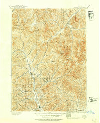
1895 · Hailey
USGS Topo · 1:125,000
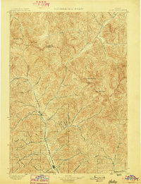
1897 · Hailey
USGS Topo · 1:125,000
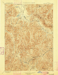
1900 · Sawtooth
USGS Topo · 1:125,000
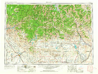
1955 · Hailey
USGS Topo · 1:250,000
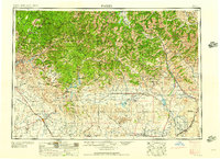
1959 · Hailey
USGS Topo · 1:250,000
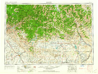
1962 · Hailey
USGS Topo · 1:250,000
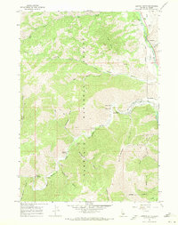
1967 · Griffin Butte
USGS Topo · 1:24,000
1967 · Amber Lakes
USGS Topo · 1:24,000
1967 · Ryan Peak
USGS Topo · 1:24,000
1970 · Horton Peak
USGS Topo · 1:24,000