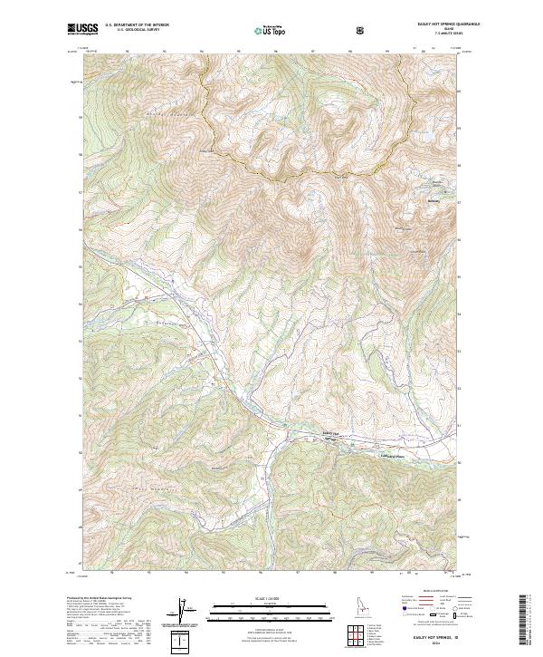
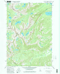
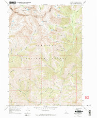
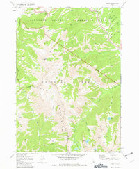
2024 Map of Easley Hot Springs
USGS Topo · Published 2024About this map
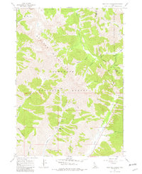
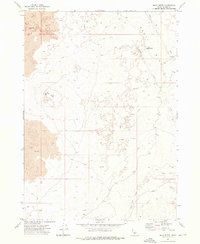
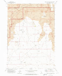
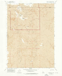
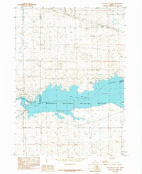
Easley Hot Springs and the surrounding high-altitude terrain of the Hemingway-Boulders Wilderness are the centerpieces of this 2024 survey. The landscape is defined by the sharp transition between the Big Wood River valley and the formidable summits of the Boulder Mountains and Smoky Mountains. Settlement remains sparse, clustered primarily around the recreation and residential areas of Cathedral Pines and the high mountain basin at Boulder.
Find a feature on this map
65 named features on this map. Tap any name to fly to it.
Don’t see what you’re looking for? This feature index may not catch every label — zoom into the map to look around manually.
Map Details
Editions of this 2024 Easley Hot Springs Map
This is the sole edition of this map. No revisions or reprints were ever made.
Historical Maps of Easley Hot Springs Through Time
79 maps found
1960 Muldoon Canyon
Blaine County, ID
1963 Alturas Lake
Blaine County, ID
1964 Frenchman Creek
Blaine County, ID
1964 Snowyside Peak
Blaine County, ID
1967 Amber Lakes
Blaine County, ID
1967 Baugh Creek
Blaine County, ID
1967 Baugh Creek SW
Blaine County, ID
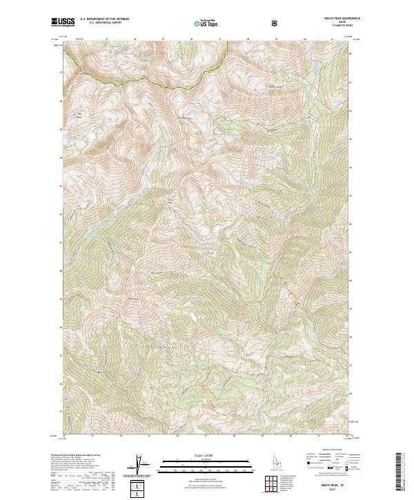
1967 Grays Peak
Blaine County, ID
1967 Griffin Butte
Blaine County, ID
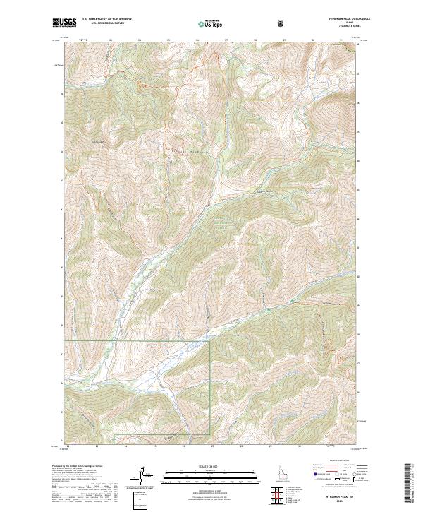
1967 Hyndman Peak
Blaine County, ID
1967 Mahoney Butte
Blaine County, ID
1967 Rock Roll Canyon
Blaine County, ID
1970 Boyle Mountain
Blaine County, ID
1970 Buttercup Mtn
Blaine County, ID
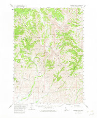
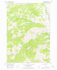
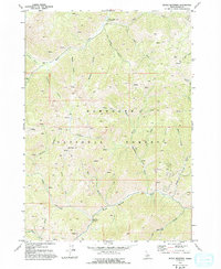
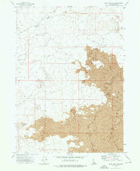
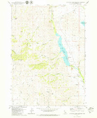
1970 Easley Hot Springs
Blaine County, ID
1970 Galena
Blaine County, ID
1972 Antelope Lake
Blaine County, ID
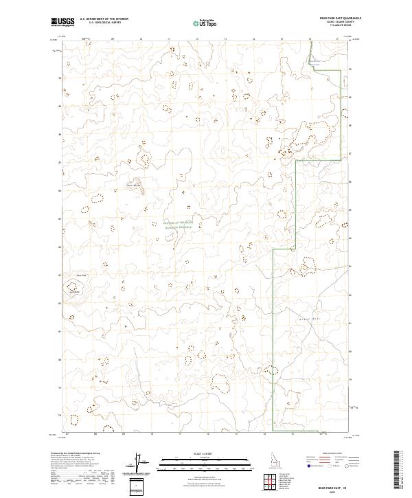
1972 Bear Park East
Blaine County, ID
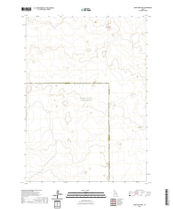
1972 Bear Park West
Blaine County, ID
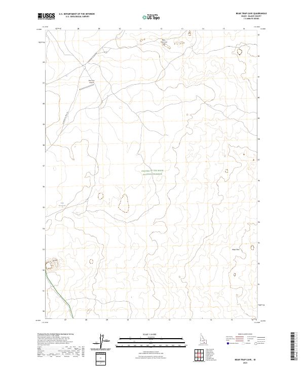
1972 Bear Trap Cave
Blaine County, ID
1972 Blizzard Mtn South
Blaine County, ID
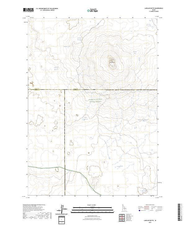
1972 Laidlaw Butte
Blaine County, ID
1972 Little Park
Blaine County, ID
1972 Mule Butte
Blaine County, ID
1972 North Laidlaw Butte
Blaine County, ID
1972 Schodde Well
Blaine County, ID
1972 Split Top
Blaine County, ID
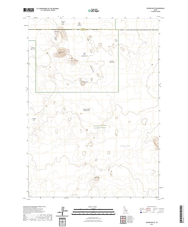
1973 Fissure Butte
Blaine County, ID
1978 Craters Of The Moon
Blaine County, ID
1979 Fish Creek Reservoir
Blaine County, ID
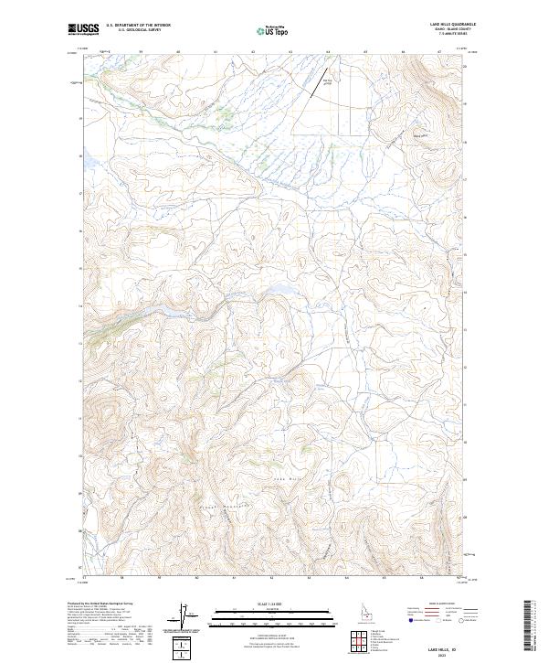
1979 Lake Hills
Blaine County, ID
1979 Little Wood River Reservoir
Blaine County, ID
1979 Paddelford Flat
Blaine County, ID
1979 Seamans Creek
Blaine County, ID
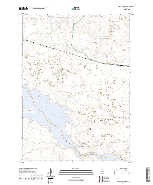
1984 Lake Walcott East
Blaine County, ID
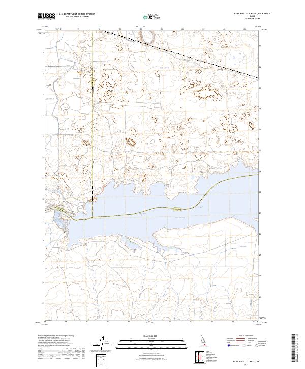
1984 Lake Walcott West
Blaine County, ID
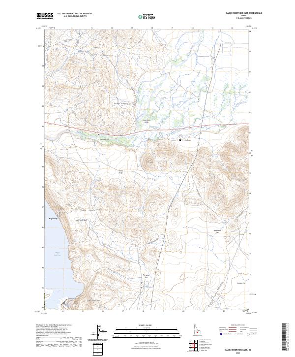
1986 Magic Reservoir East
Blaine County, ID
1986 Richardson Summit
Blaine County, ID
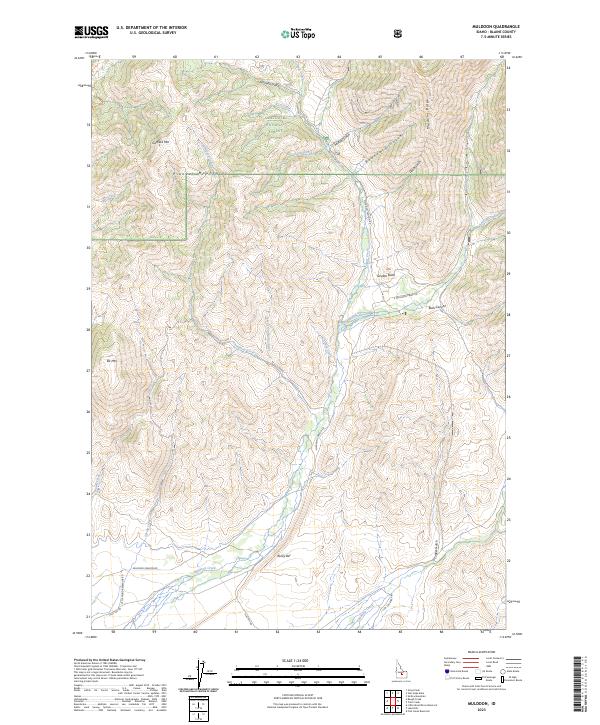
1991 Muldoon
Blaine County, ID
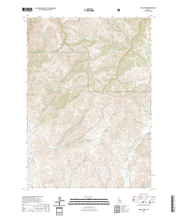
1991 Trail Creek
Blaine County, ID
2023 Antelope Lake
Blaine County, ID
2023 Baugh Creek
Blaine County, ID
2023 Baugh Creek SW
Blaine County, ID
2023 Bear Park East
Blaine County, ID
2023 Bear Park West
Blaine County, ID
2023 Bear Trap Cave
Blaine County, ID
2023 Fissure Butte
Blaine County, ID
2023 Grays Peak
Blaine County, ID
2023 Hyndman Peak
Blaine County, ID
2023 Laidlaw Butte
Blaine County, ID
2023 Lake Hills
Blaine County, ID
2023 Lake Walcott East
Blaine County, ID
2023 Lake Walcott West
Blaine County, ID
2023 Magic Reservoir East
Blaine County, ID
2023 Muldoon
Blaine County, ID
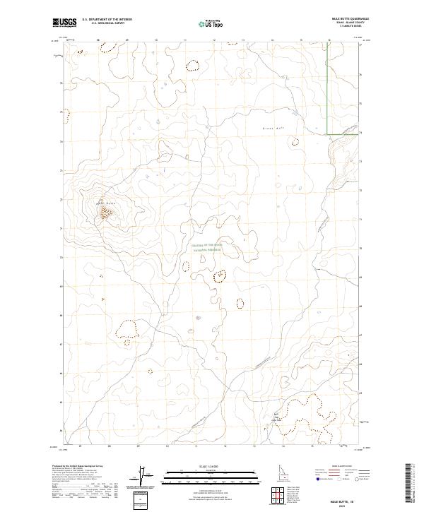
2023 Mule Butte
Blaine County, ID
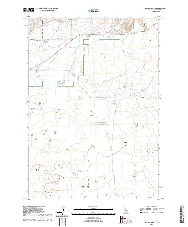
2023 Paddelford Flat
Blaine County, ID
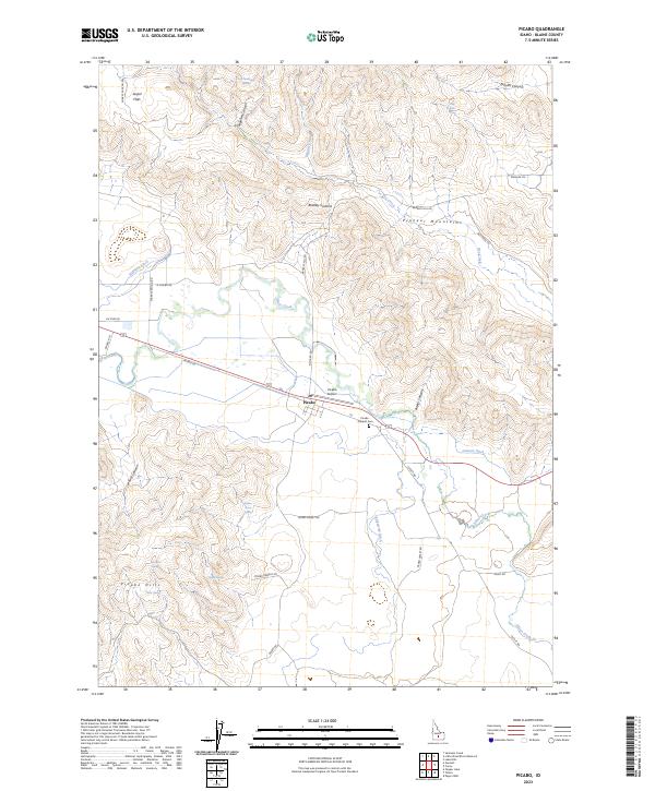
2023 Picabo
Blaine County, ID

2023 Schodde Well
Blaine County, ID
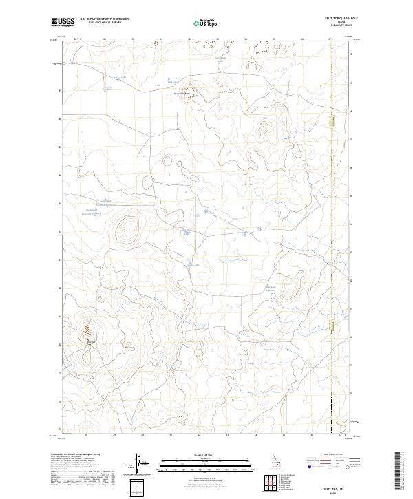
2023 Split Top
Blaine County, ID
2023 Trail Creek
Blaine County, ID
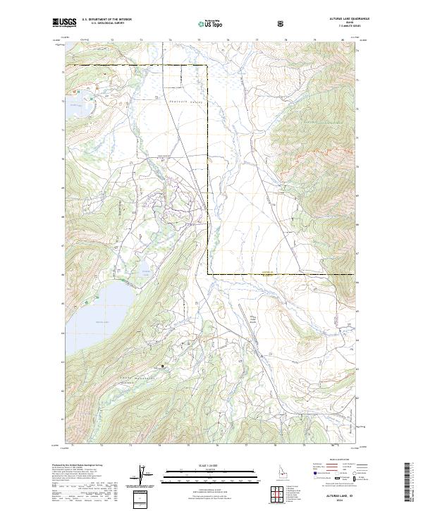
2024 Alturas Lake
Blaine County, ID
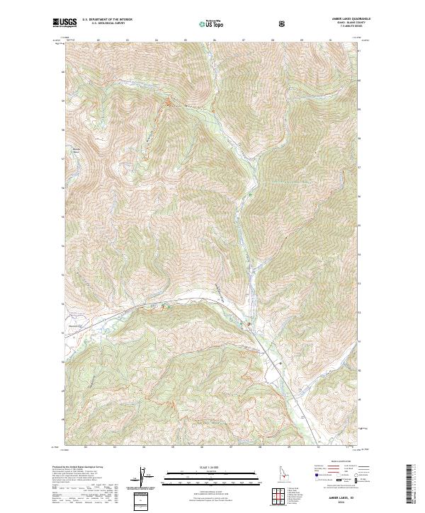
2024 Amber Lakes
Blaine County, ID
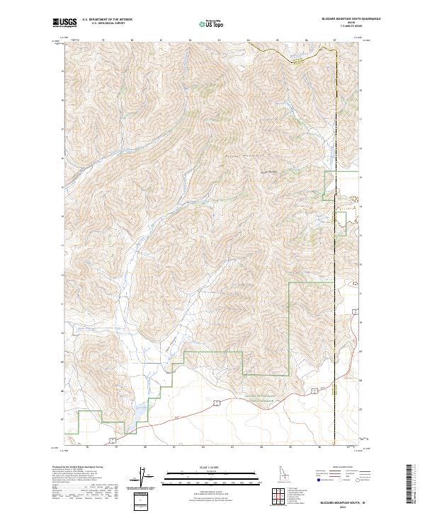
2024 Blizzard Mountain South
Blaine County, ID
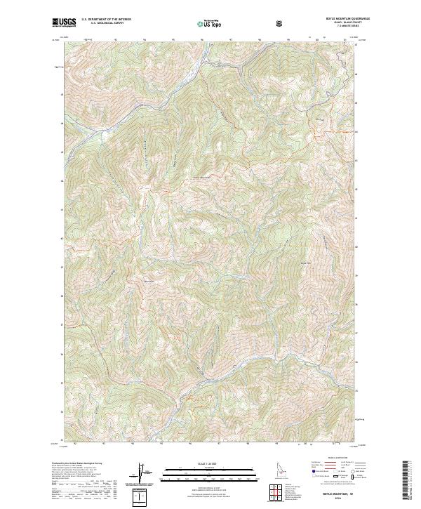
2024 Boyle Mountain
Blaine County, ID
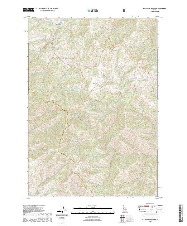
2024 Buttercup Mountain
Blaine County, ID
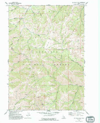
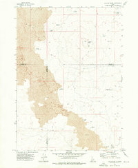
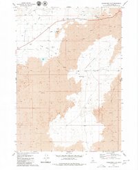
2024 Easley Hot Springs
Blaine County, ID
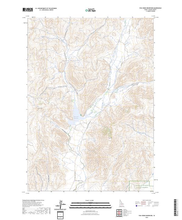
2024 Fish Creek Reservoir
Blaine County, ID
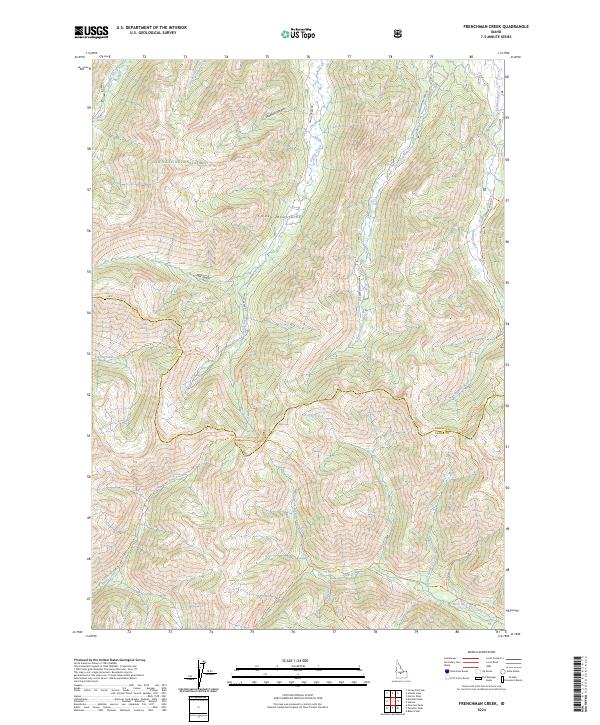
2024 Frenchman Creek
Blaine County, ID
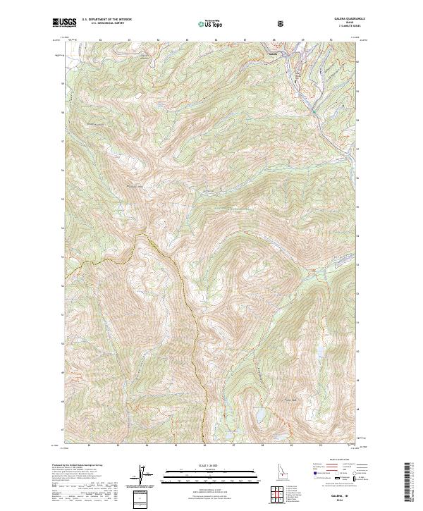
2024 Galena
Blaine County, ID
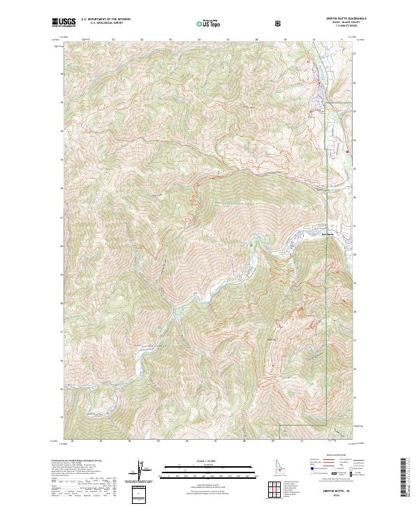
2024 Griffin Butte
Blaine County, ID
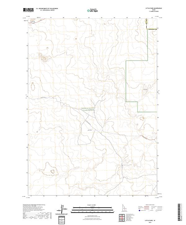
2024 Little Park
Blaine County, ID
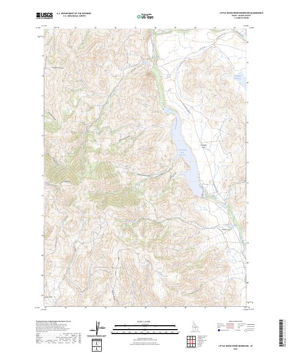
2024 Little Wood River Reservoir
Blaine County, ID
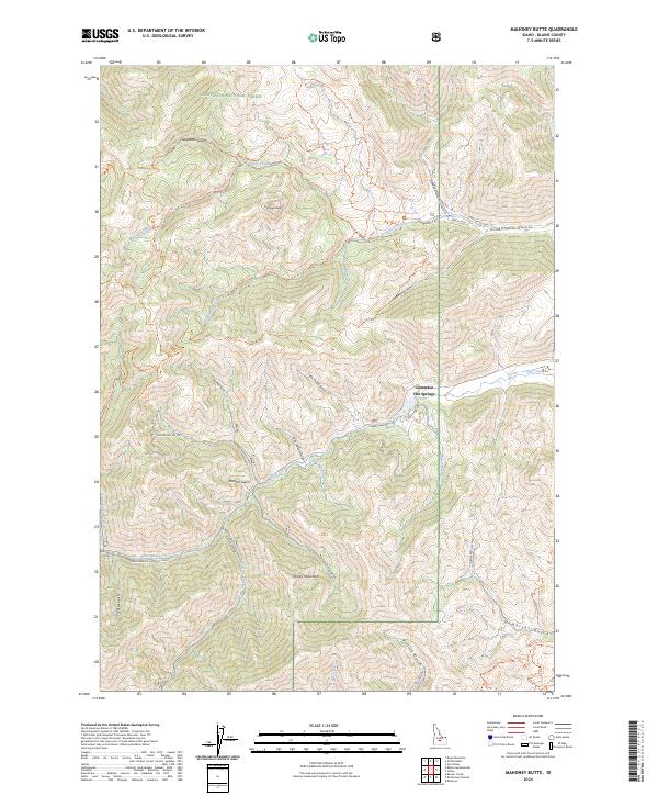
2024 Mahoney Butte
Blaine County, ID
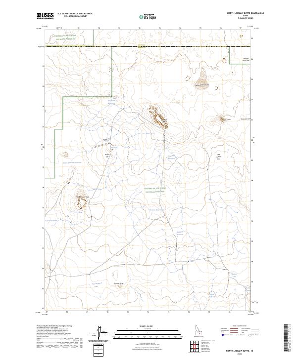
2024 North Laidlaw Butte
Blaine County, ID
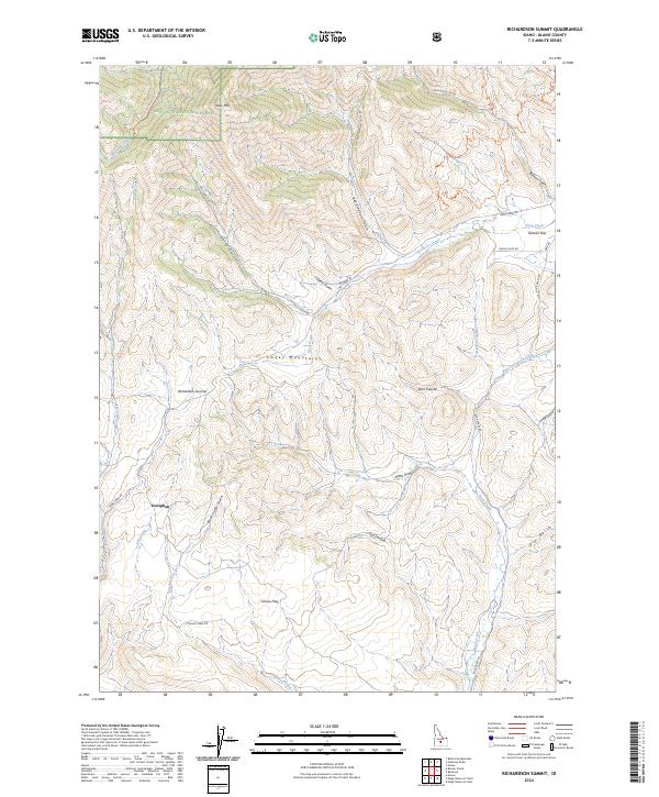
2024 Richardson Summit
Blaine County, ID
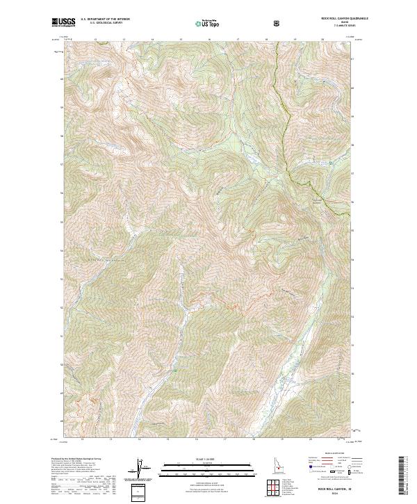
2024 Rock Roll Canyon
Blaine County, ID
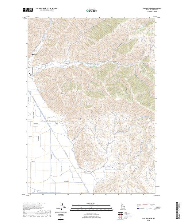
2024 Seamans Creek
Blaine County, ID
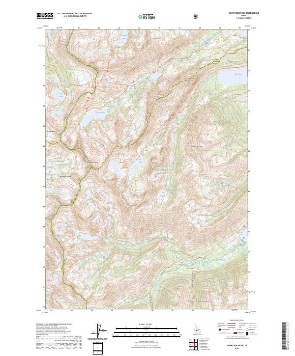
2024 Snowyside Peak
Blaine County, ID