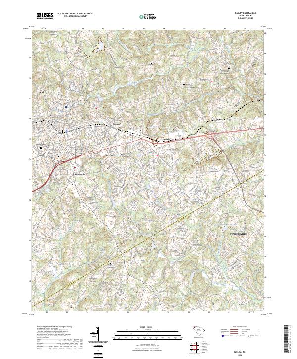
2024 Map of Easley
USGS Topo · Published 2024About this map
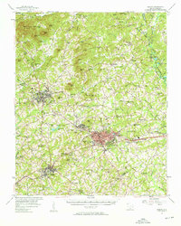
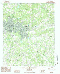
The boundary between Pickens and Anderson Counties runs through the southern reaches of this landscape, where the growing community of Easley serves as a central hub. Evidence of the area's textile heritage is preserved at the Easley Mill Cemetery, while the historic Pickensville settlement sits just south of the main downtown area. The terrain is defined by a dense network of watercourses, including Brushy Creek, Georges Creek, and Three and Twenty Creek, which are supplemented by various watershed reservoirs such as Watsons Pond and Merritts Pond. Small outlying settlements like Arial, Glenwood, and Lathem are connected by a mix of historic routes and modern thoroughfares, including the Old Stagecoach Road. Numerous country churches and their associated graveyards, such as Antioch United Methodist Church Graveyard and Fairview United Methodist Church Graveyard, provide valuable geographic markers for genealogical research across the region.
Find a feature on this map
62 named features on this map. Tap any name to fly to it.
Don’t see what you’re looking for? This feature index may not catch every label — zoom into the map to look around manually.
Map Details
Editions of this 2024 Easley Map
This is the sole edition of this map. No revisions or reprints were ever made.