Loading...
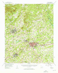
Loading map...1957 Map of Easley
USGS Topo · Published 1958About this map
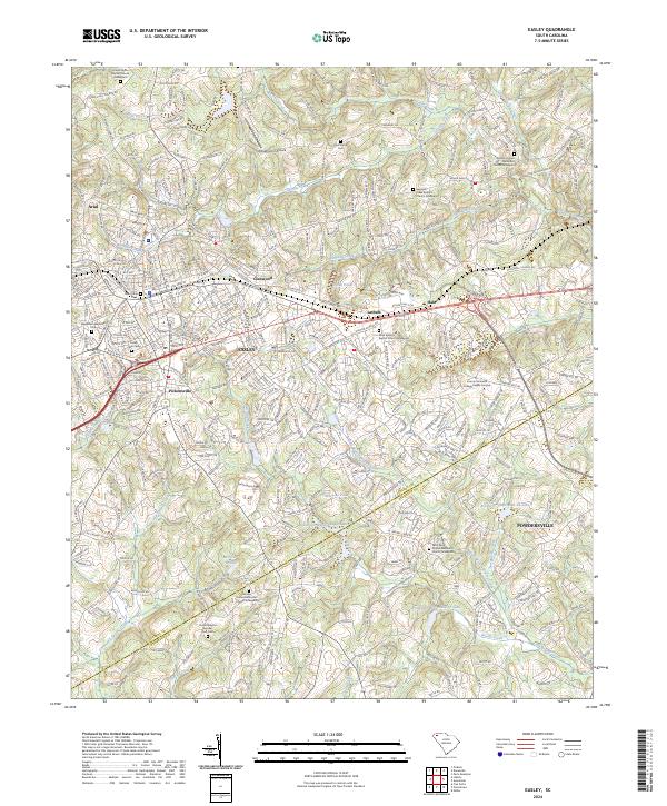
The industrial and agricultural character of the Upstate South Carolina foothills is clearly defined here in the late 1950s. The Southern railroad corridor acts as a primary axis, connecting the textile hub of Easley with the towns of Liberty and Norris. In Easley, the Alice Mill stands as a significant landmark of the region's manufacturing base, while the surrounding landscape is dotted with numerous rural schools and churches such as Nine Forks Ch and Maynard Sch that served established farming communities.
Find a feature on this map
148 named features on this map. Tap any name to fly to it.
Don’t see what you’re looking for? This feature index may not catch every label — zoom into the map to look around manually.
Map Details
Date Portrayed1957
Date Published1958
PublisherU.S. Geological Survey
Map TypeTopographic
Scale1:62,500
Physical Dimensions17.3 x 21.6 inches
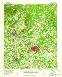
Editions of this 1957 Easley Map
2 editions found
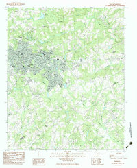
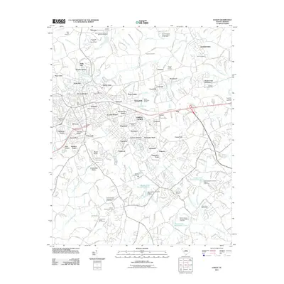
Historical Maps of Easley Through Time
7 maps found
Featured Locations
Source Details
SourceU.S. Geological Survey
CopyrightPublic Domain