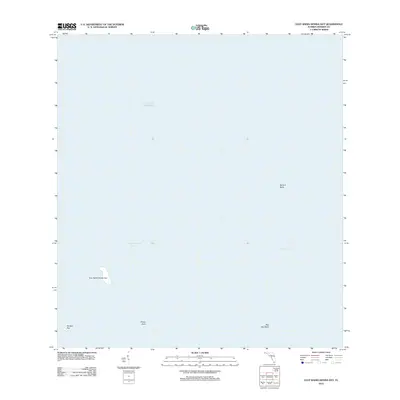
2012 Map of East Bahia Honda Key
USGS Topo · Published 2012About this map
East Bahia Honda Key and the nearby Hardup Key occupy a tranquil expanse where the Gulf of Mexico meets Florida Bay. This marine environment is defined by submerged features and shallow flats, such as Bullard Bank and Elbow Bank, which dictate the local navigation and ecology of the Lower Keys. The East Bahia Honda Channel provides a vital deep-water passage through these shoals, connecting the open gulf to the protected waters of the bay. This 2012 survey by the U. S. Geological Survey focuses on the delicate interface of land and sea, documenting the natural boundaries of these uninhabited keys and the shifting undersea topography of Red Bay Bank.
Find a feature on this map
8 named features on this map. Tap any name to fly to it.
Don’t see what you’re looking for? This feature index may not catch every label — zoom into the map to look around manually.
Map Details
Editions of this 2012 East Bahia Honda Key Map
This is the sole edition of this map. No revisions or reprints were ever made.
Other maps of this area

1971 · Marathon
USGS Topo · 1:24,000

1972 · Marathon
USGS Topo · 1:24,000

1972 · Bamboo Key
USGS Topo · 1:24,000

1972 · Big Pine Key
USGS Topo · 1:24,000

1972 · East Bahia Honda Key
USGS Topo · 1:24,000

1972 · East Bahia Honda Key NE
USGS Topo · 1:24,000

1972 · Horseshoe Keys
USGS Topo · 1:24,000

1972 · Sevenmile Bridge
USGS Topo · 1:24,000

1983 · Key West
USGS Topo · 1:100,000

1989 · Key West
USGS Topo · 1:250,000