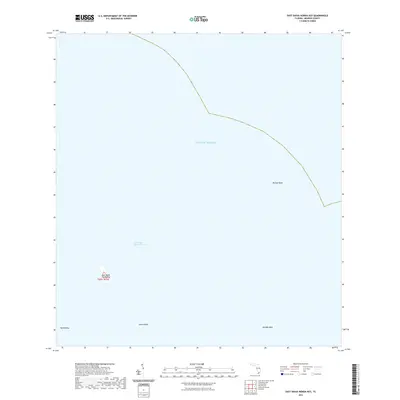
2021 Map of East Bahia Honda Key
USGS Topo · Published 2021About this map
East Bahia Honda Key stands as a solitary landform within the expansive waters of the Gulf of Mexico. This 2021 survey of the Florida Keys reveals a landscape dominated by submerged flats and channels rather than terrestrial development. To the west, the tiny outcrop of Hardup Key dots the surface, while the deeper East Bahia Honda Channel provides a navigable corridor through the shallows. The area is defined by its named banks, including Bullard Bank, Elbow Bank, and Red Bay Bank, which indicate the shifting bathymetry of this maritime environment. Unlike more developed keys, this map records a nearly untouched marine ecosystem where land is ephemeral and the sea defines all boundaries.
Find a feature on this map
8 named features on this map. Tap any name to fly to it.
Don’t see what you’re looking for? This feature index may not catch every label — zoom into the map to look around manually.
Map Details
Editions of this 2021 East Bahia Honda Key Map
This is the sole edition of this map. No revisions or reprints were ever made.
Other maps of this area

1971 · Marathon
USGS Topo · 1:24,000

1972 · Marathon
USGS Topo · 1:24,000

1972 · Bamboo Key
USGS Topo · 1:24,000

1972 · Big Pine Key
USGS Topo · 1:24,000

1972 · East Bahia Honda Key
USGS Topo · 1:24,000

1972 · East Bahia Honda Key NE
USGS Topo · 1:24,000

1972 · Horseshoe Keys
USGS Topo · 1:24,000

1972 · Sevenmile Bridge
USGS Topo · 1:24,000

1983 · Key West
USGS Topo · 1:100,000

1989 · Key West
USGS Topo · 1:250,000