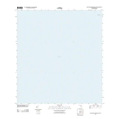
2012 Map of East Bahia Honda Key NE
USGS Topo · Published 2012About this map
Gulf of Mexico waters dominate this marine-focused survey, providing a precise spatial record of the open sea and submerged shoals in the Florida Keys region. The most prominent underwater feature identified is Oxfoot Bank, located in the northeastern reaches of the map. Unlike terrestrial maps that focus on roads and settlements, this chart serves as a primary reference for the bathymetry and hydrographic character of the shallow waters surrounding the southern tip of the Florida peninsula. The lack of landmass highlights the significant maritime environment of Monroe County, where submerged banks and the open gulf define the local geography.
Find a feature on this map
2 named features on this map. Tap any name to fly to it.
Don’t see what you’re looking for? This feature index may not catch every label — zoom into the map to look around manually.
Map Details
Editions of this 2012 East Bahia Honda Key NE Map
This is the sole edition of this map. No revisions or reprints were ever made.
Other maps of this area

1956 · Miami
USGS Topo · 1:250,000

1958 · Miami
USGS Topo · 1:250,000

1971 · Grassy Key
USGS Topo · 1:24,000

1972 · Bamboo Key
USGS Topo · 1:24,000

1972 · Schooner Bank
USGS Topo · 1:24,000

1972 · East Bahia Honda Key
USGS Topo · 1:24,000

1972 · East Bahia Honda Key NE
USGS Topo · 1:24,000

1972 · Sandy Key
USGS Topo · 1:24,000

1972 · Clive Key
USGS Topo · 1:24,000

1981 · Cape Sable
USGS Topo · 1:100,000