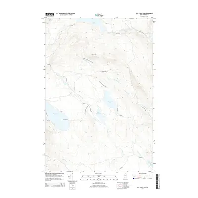
2014 Map of East Carry Pond
USGS Topo · Published 2014About this map
Appalachian National Scenic Trail hikers and local historians can trace the rugged north-south traverse through this portion of Somerset County, where the trail winds past several significant glacial water bodies. The landscape is defined by the historic portage route indicated by East Carry Pond, Middle Carry Pond, and West Carry Pond, reflecting the traditional travel patterns between the Kennebec River and western Maine waters. Elevation changes are marked by Bates Ridge and the prominent Hedgehog Mtn to the northwest. A network of secondary roads, such as Carrying Place Rd and Middle Rd, provides access to these remote ponds and the numerous tributary streams like Sandy Stream and N Br Carrying Place Stream. The inclusion of Arnolds Point on the western shore of West Carry Pond offers a specific landmark for those studying local geography and shoreline features within this heavily wooded plantation area.
Find a feature on this map
35 named features on this map. Tap any name to fly to it.
Don’t see what you’re looking for? This feature index may not catch every label — zoom into the map to look around manually.
Map Details
Editions of this 2014 East Carry Pond Map
This is the sole edition of this map. No revisions or reprints were ever made.
Other maps of this area

1903 · Bingham
USGS Topo · 1:62,500

1905 · Bingham
USGS Topo · 1:62,500

1905 · The Forks
USGS Topo · 1:62,500

1907 · The Forks
USGS Topo · 1:62,500

1925 · Pierce Pond
USGS Topo · 1:48,000

1927 · Pierce Pond
USGS Topo · 1:62,500

1928 · Dead River
USGS Topo · 1:62,500

1931 · Dead River
USGS Topo · 1:48,000

1944 · Dead River
USGS Topo · 1:62,500

1944 · Pierce Pond
USGS Topo · 1:62,500
Featured Places
- Pleasant Ridge Plantation, ME
- Caratunk, ME
- Highland Plantation, ME
- Bowtown Township, ME
- Carrying Place Township, ME