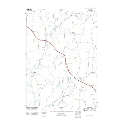
2013 Map of East Chatham
USGS Topo · Published 2013About this map
Kinderhook Creek serves as a central artery for a landscape defined by small historic hamlets and upland ridges. The water flows through several established settlements, passing the Kinderhook Creek Bridge near Brainard and moving south through Riders Mills and Malden Bridge. The area is marked by a clear pattern of valley-floor development contrasted with the higher elevations of Ashley Hill and Gale Hill. Local heritage is anchored in several burial grounds, including The Maples Cem and Mtn View Cem near East Chatham. These small, concentrated communities are linked by historical routes like the Albany Tpke, while the southern reaches near New Concord and The Knobit maintain a more rural, forested character. The network of winding roads, such as Riders Mill Rd and Malden Bridge Rd, follows the natural contours of the drainage basin, illustrating how the terrain has dictated the growth of these colonial-era townships into the modern day.
Find a feature on this map
110 named features on this map. Tap any name to fly to it.
Don’t see what you’re looking for? This feature index may not catch every label — zoom into the map to look around manually.
Map Details
Editions of this 2013 East Chatham Map
This is the sole edition of this map. No revisions or reprints were ever made.
Other maps of this area

1888 · Berlin
USGS Topo · 1:62,500

1888 · Pittsfield
USGS Topo · 1:62,500

1890 · Pittsfield
USGS Topo · 1:62,500

1890 · Berlin
USGS Topo · 1:62,500

1893 · Troy
USGS Topo · 1:62,500

1893 · Pittsfield
USGS Topo · 1:62,500

1894 · Berlin
USGS Topo · 1:62,500

1894 · Pittsfield
USGS Topo · 1:62,500

1895 · Troy
USGS Topo · 1:62,500

1897 · Pittsfield
USGS Topo · 1:62,500