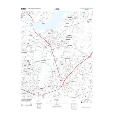
2013 Map of East Chattanooga
USGS Topo · Published 2013About this map
Lovell Field Airport anchors the southern portion of this Hamilton County landscape, serving as a primary hub within a complex network of suburban developments and waterways. The Tennessee River and its expansive Dallas Lake section dominate the northern half, where the Wilkes T Thrasher Bridge provides a critical crossing near Chickamauga Shoals. The area is characterized by numerous residential subdivisions and established neighborhoods like Harrison, Hamillville, and Kings Point, reflecting the modern expansion of the Chattanooga metropolitan area.
Find a feature on this map
86 named features on this map. Tap any name to fly to it.
Don’t see what you’re looking for? This feature index may not catch every label — zoom into the map to look around manually.
Map Details
Editions of this 2013 East Chattanooga Map
This is the sole edition of this map. No revisions or reprints were ever made.
Other maps of this area

1886 · Ringgold
USGS Topo · 1:125,000

1888 · Chattanooga
USGS Topo · 1:125,000

1892 · Ringgold
USGS Topo · 1:125,000

1893 · Chattanooga
USGS Topo · 1:125,000

1935 · East Chattanooga
USGS Topo · 1:24,000

1935 · Daisy
USGS Topo · 1:24,000

1935 · East Ridge
USGS Topo · 1:24,000

1935 · Ringgold
USGS Topo · 1:24,000

1935 · Snow Hill
USGS Topo · 1:24,000

1935 · Ooltewah
USGS Topo · 1:24,000