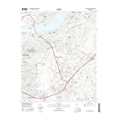
2016 Map of East Chattanooga
USGS Topo · Published 2016About this map
Missionary Ridge and the Chickamauga and Chattanooga National Military Park anchor the western portion of this 2016 survey, representing the preservation of significant Civil War landscapes within the modern footprint of Chattanooga. The map documents a dense network of suburban and historic settlements like Tyner, Silverdale, and Brainerd, woven together by major transit corridors such as the Chattanooga Belt RR and the Wilkes T Thrasher Bridge crossing the Tennessee River.
Find a feature on this map
364 named features on this map. Tap any name to fly to it.
Don’t see what you’re looking for? This feature index may not catch every label — zoom into the map to look around manually.
Map Details
Editions of this 2016 East Chattanooga Map
This is the sole edition of this map. No revisions or reprints were ever made.
Other maps of this area

1886 · Ringgold
USGS Topo · 1:125,000

1888 · Chattanooga
USGS Topo · 1:125,000

1892 · Ringgold
USGS Topo · 1:125,000

1893 · Chattanooga
USGS Topo · 1:125,000

1935 · East Chattanooga
USGS Topo · 1:24,000

1935 · Daisy
USGS Topo · 1:24,000

1935 · East Ridge
USGS Topo · 1:24,000

1935 · Ringgold
USGS Topo · 1:24,000

1935 · Snow Hill
USGS Topo · 1:24,000

1935 · Ooltewah
USGS Topo · 1:24,000