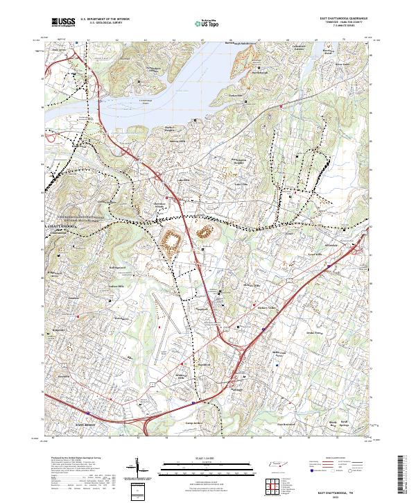
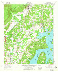
2022 Map of East Chattanooga
USGS Topo · Published 2022About this map
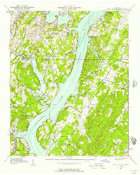
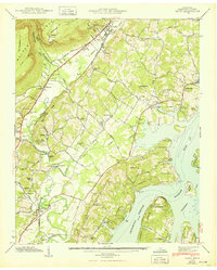
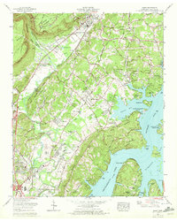
Missionary Ridge and the Tennessee River define the complex geography of this Hamilton County region. The landscape is a dense assembly of mid-century and modern residential developments like Kings Point, Shepherd, and Silverdale interspersed with significant historical and commemorative sites. Genealogists and historians will find a high concentration of burial grounds, including the Brainerd Mission Cem and the Confederate Cem, which sit alongside the sprawling Chickamauga and Chattanooga National Military Park.
Find a feature on this map
82 named features on this map. Tap any name to fly to it.
Don’t see what you’re looking for? This feature index may not catch every label — zoom into the map to look around manually.
Map Details
Editions of this 2022 East Chattanooga Map
This is the sole edition of this map. No revisions or reprints were ever made.
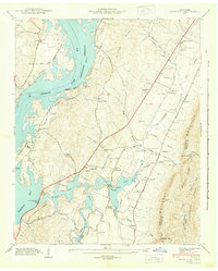
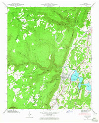
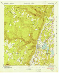
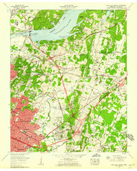
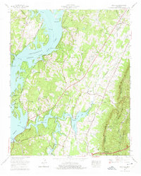
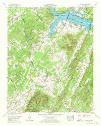
Historical Maps of Jersey Through Time
31 maps found
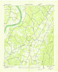
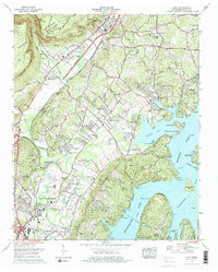
1935 Birchwood
Hamilton County, TN
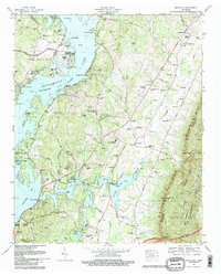
1935 Daisy
Hamilton County, TN
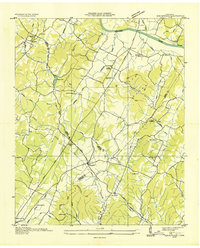
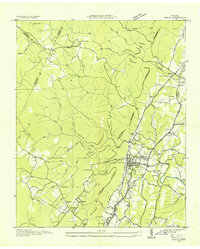
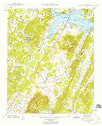
1935 East Chattanooga
Hamilton County, TN
1935 Snow Hill
Hamilton County, TN
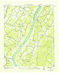
1935 Soddy
Hamilton County, TN
1935 Soddy Island
Hamilton County, TN
1939 Soddy Island
Hamilton County, TN
1942 Birchwood
Hamilton County, TN
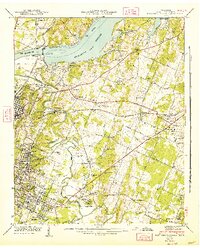
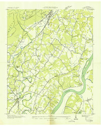
1942 East Chattanooga
Hamilton County, TN
1942 Snow Hill
Hamilton County, TN
1943 Birchwood
Hamilton County, TN
1943 Daisy
Hamilton County, TN
1943 Snow Hill
Hamilton County, TN
1946 Soddy
Hamilton County, TN
1947 Soddy
Hamilton County, TN
1958 Daisy
Hamilton County, TN
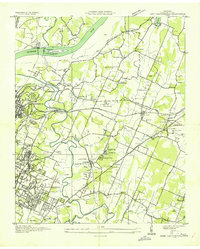
1958 East Chattanooga
Hamilton County, TN
1964 Snow Hill
Hamilton County, TN
1967 Birchwood
Hamilton County, TN
1969 Daisy
Hamilton County, TN
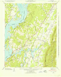
1969 East Chattanooga
Hamilton County, TN
1972 Grasshopper Creek
Hamilton County, TN
1972 Soddy
Hamilton County, TN
1976 Daisy
Hamilton County, TN
1980 Snow Hill
Hamilton County, TN
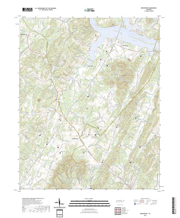
2022 Birchwood
Hamilton County, TN
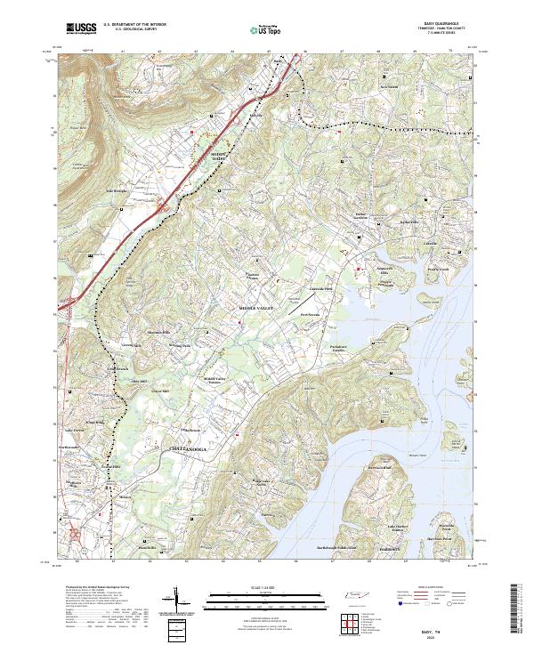
2022 Daisy
Hamilton County, TN
2022 East Chattanooga
Hamilton County, TN
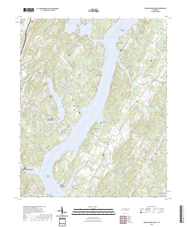
2022 Grasshopper Creek
Hamilton County, TN
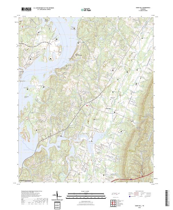
2022 Snow Hill
Hamilton County, TN
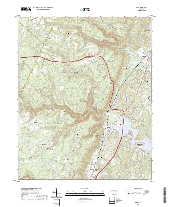
2022 Soddy
Hamilton County, TN
Featured Locations
- Chattanooga, TN
- East Ridge, TN
- Theresa Heights, TN
- Camp Jordan, East Ridge
- Creekwood Terrace, Chattanooga