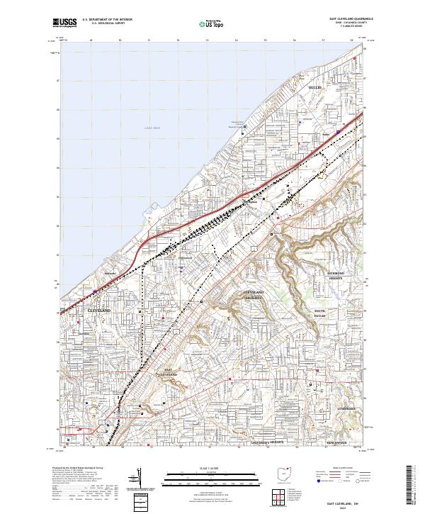
2023 Map of East Cleveland
USGS Topo · Published 2023About this map
The shoreline of Lake Erie defines the northern reaches of this dense urban landscape, where the historic residential and institutional fabric of Cuyahoga County is meticulously documented. The expansive Lake View Cem serves as a major landmark, containing the President Garfield Tomb and Memorial, while numerous smaller burial grounds like Glenville Cem and East Cleveland Township Cem provide essential data for local historians. The map reveals the distribution of major educational and cultural institutions, including Case Western Reserve University and the Cleveland Institute of Music.
Find a feature on this map
47 named features on this map. Tap any name to fly to it.
Don’t see what you’re looking for? This feature index may not catch every label — zoom into the map to look around manually.
Map Details
Editions of this 2023 East Cleveland Map
This is the sole edition of this map. No revisions or reprints were ever made.
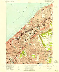
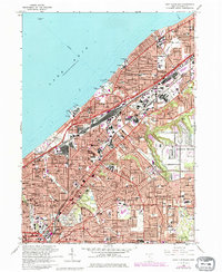
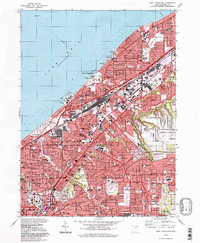
Historical Maps of East Cleveland Through Time
4 maps found