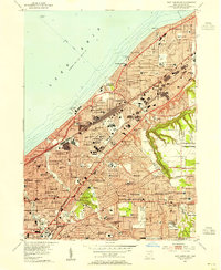
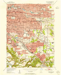
1953 Map of East Cleveland
USGS Topo · Published 1955About this map
Lake View Cemetery and the institutions of Cleveland Heights anchor this mid-century look at the urban expansion along the Lake Erie shoreline. The landscape is densely developed, featuring a complex grid of schools and parishes such as Villa Angela Academy and St Johns Sch that served the growing suburban populations of Euclid and South Euclid. Extensive infrastructure, including the New York Central railroad corridor and the Intake Tunnel extending into the lake, highlights the industrial and civic support systems required for this burgeoning metropolitan area.
Find a feature on this map
112 named features on this map. Tap any name to fly to it.
Don’t see what you’re looking for? This feature index may not catch every label — zoom into the map to look around manually.
Map Details
Editions of this 1953 East Cleveland Map
This is the sole edition of this map. No revisions or reprints were ever made.
Other maps of this area
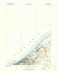
1901 · Euclid
USGS Topo · 1:62,500

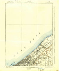
1903 · Cleveland
USGS Topo · 1:62,500
1903 · Euclid
USGS Topo · 1:62,500

1905 · Mentor
USGS Topo · 1:62,500

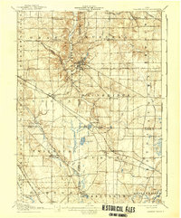
1906 · Chagrin Falls
USGS Topo · 1:62,500

1907 · Mentor
USGS Topo · 1:62,500
1908 · Chagrin Falls
USGS Topo · 1:62,500

1950 · Cleveland
USGS Topo · 1:250,000
1953 · Chagrin Falls
USGS Topo · 1:24,000
1953 · Shaker Heights
USGS Topo · 1:24,000