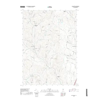
2018 Map of East Corinth
USGS Topo · Published 2018About this map
Waits River and its South Branch Waits River define the lower elevations of this Orange County landscape, where small agricultural hamlets like East Corinth and South Corinth sit tucked between significant peaks. The map reveals a dense distribution of family and community burial grounds, including the Munn-Rowell Cem near the southern border and the Renfrow - Heath Cem further north, which point to the long-established settlement patterns of these Vermont hills.
Find a feature on this map
125 named features on this map. Tap any name to fly to it.
Don’t see what you’re looking for? This feature index may not catch every label — zoom into the map to look around manually.
Map Details
Editions of this 2018 East Corinth Map
This is the sole edition of this map. No revisions or reprints were ever made.
Other maps of this area

1896 · Strafford
USGS Topo · 1:62,500

1931 · Mt. Cube
USGS Topo · 1:62,500

1931 · Woodsville
USGS Topo · 1:48,000

1933 · Mt. Cube
USGS Topo · 1:62,500

1935 · Woodsville
USGS Topo · 1:62,500

1941 · Woodsville
USGS Topo · 1:62,500

1944 · Strafford
USGS Topo · 1:62,500

1947 · Corinth
USGS Topo · 1:62,500

1948 · East Barre
USGS Topo · 1:62,500

1950 · Glens Falls
USGS Topo · 1:250,000