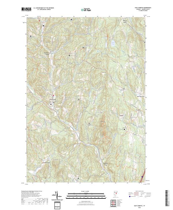
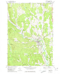
2024 Map of East Corinth
USGS Topo · Published 2024About this map
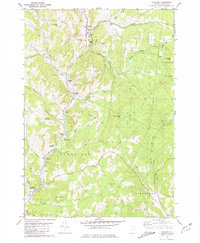
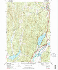
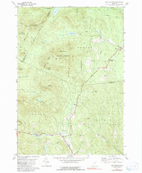
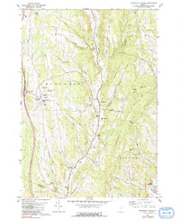
The Waits River and its South Branch serve as the primary geographical anchors for this region of Orange County, where numerous small hamlets and family-named cemeteries are scattered across the rising terrain. Settlements like East Corinth and Topsham Four Corners are connected by a network of rural roads that often trace the path of local waterways, including Tabor Branch and Levi Brook. The map reveals a deeply rooted rural community, evident in the high density of small burial grounds such as the Mills Family Cem and Avery Family Cem, which are tucked away near landforms like Devils Den and Currier Hill. In the eastern portion, the terrain climbs toward Wrights Mtn and Tucker Mtn, where the Tucker Mountain - Putnam Cem sits at a significant elevation. This pattern of high-altitude burial sites and isolated homesteads along roads like Old Stagecoach Rd reflects a landscape that has maintained its agrarian character into the modern era.
Find a feature on this map
124 named features on this map. Tap any name to fly to it.
Don’t see what you’re looking for? This feature index may not catch every label — zoom into the map to look around manually.
Map Details
Editions of this 2024 East Corinth Map
This is the sole edition of this map. No revisions or reprints were ever made.
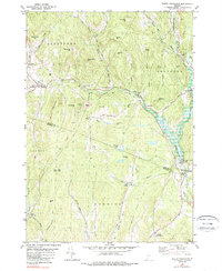
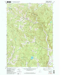
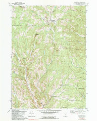
Historical Maps of Topsham Four Corners Through Time
26 maps found
1896 Strafford
Orange County, VT
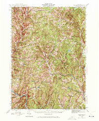
1944 Strafford
Orange County, VT

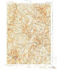
1947 Corinth
Orange County, VT

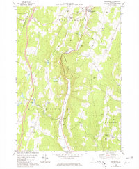
1973 East Corinth
Orange County, VT
1980 Brookfield
Orange County, VT
1981 Chelsea
Orange County, VT
1981 Fairlee
Orange County, VT
1981 Knox Mountain
Orange County, VT
1981 Randolph Center
Orange County, VT
1981 Randolph
Orange County, VT
1981 South Strafford
Orange County, VT
1981 Vershire
Orange County, VT
1981 Washington
Orange County, VT

1981 West Topsham
Orange County, VT
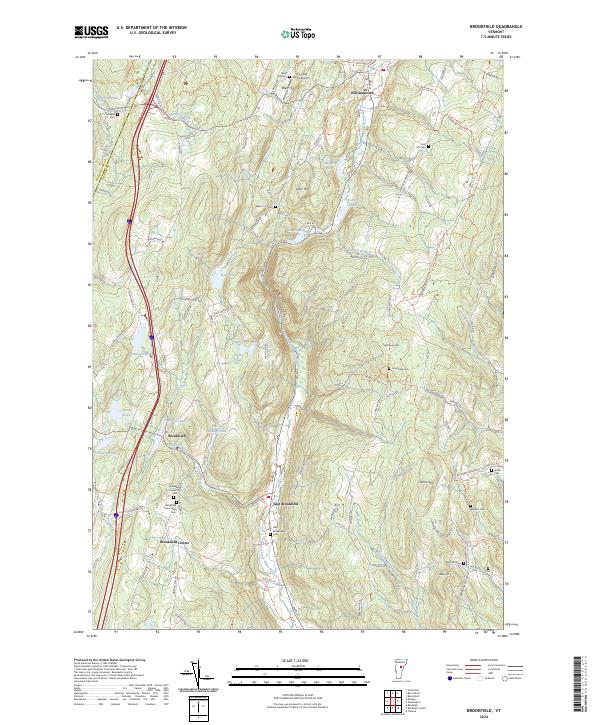
2024 Brookfield
Orange County, VT
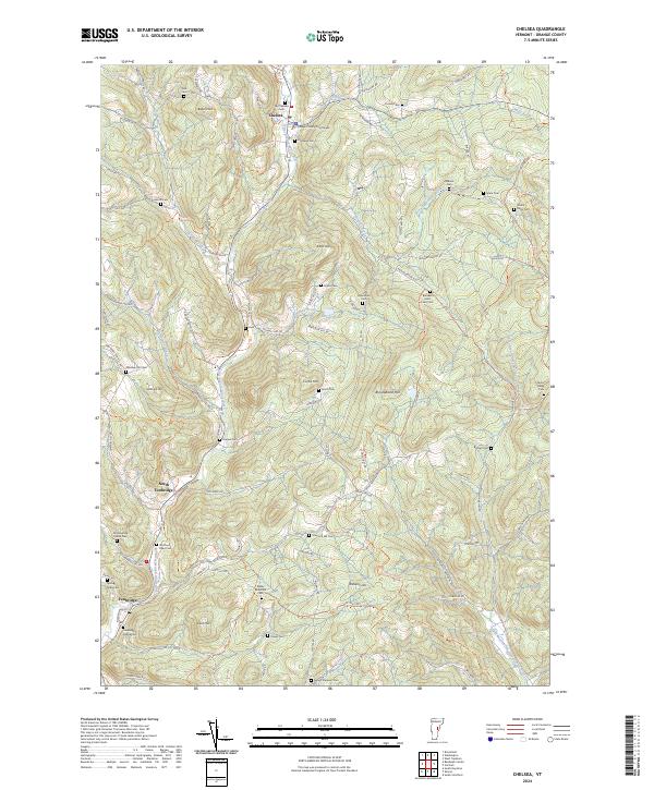
2024 Chelsea
Orange County, VT
2024 East Corinth
Orange County, VT
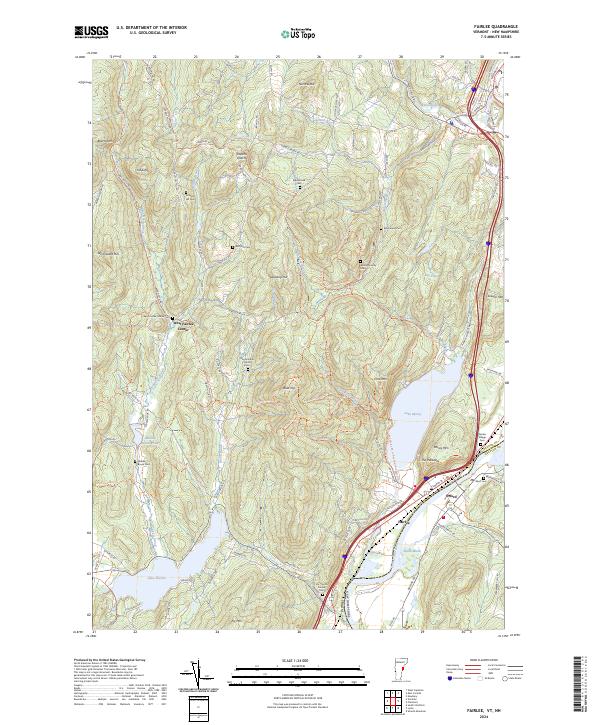
2024 Fairlee
Orange County, VT
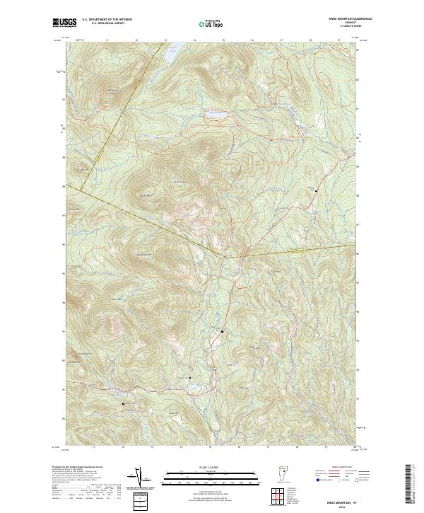
2024 Knox Mountain
Orange County, VT
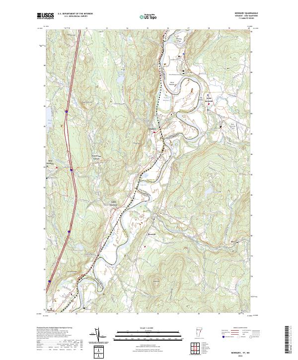
2024 Newbury
Orange County, VT
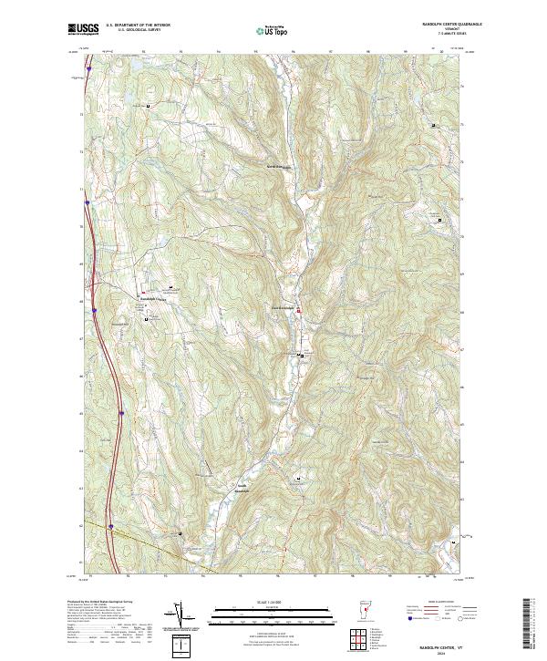
2024 Randolph Center
Orange County, VT
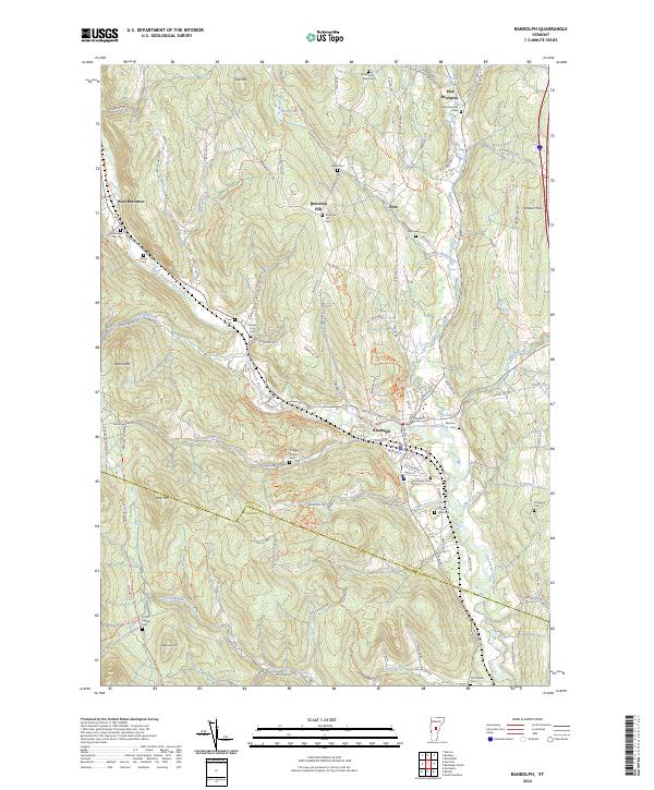
2024 Randolph
Orange County, VT
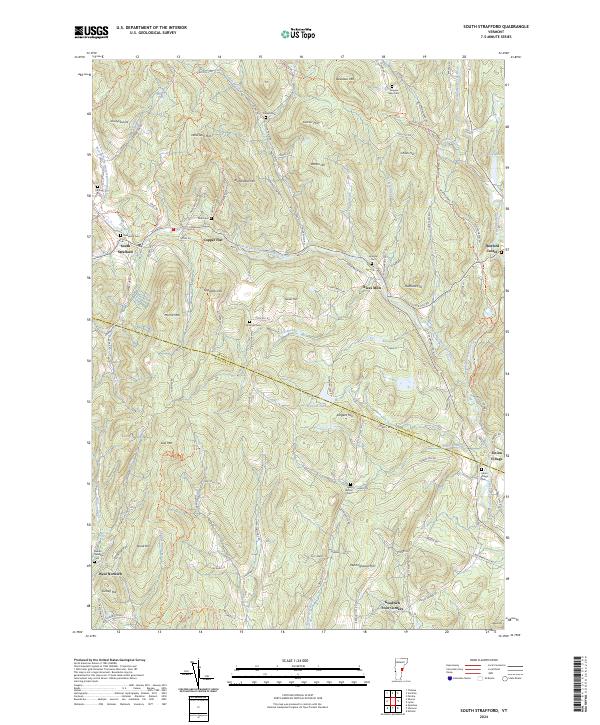
2024 South Strafford
Orange County, VT
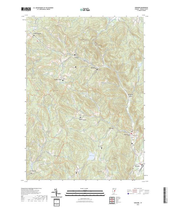
2024 Vershire
Orange County, VT
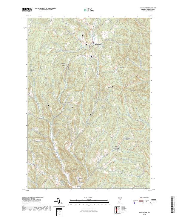
2024 Washington
Orange County, VT
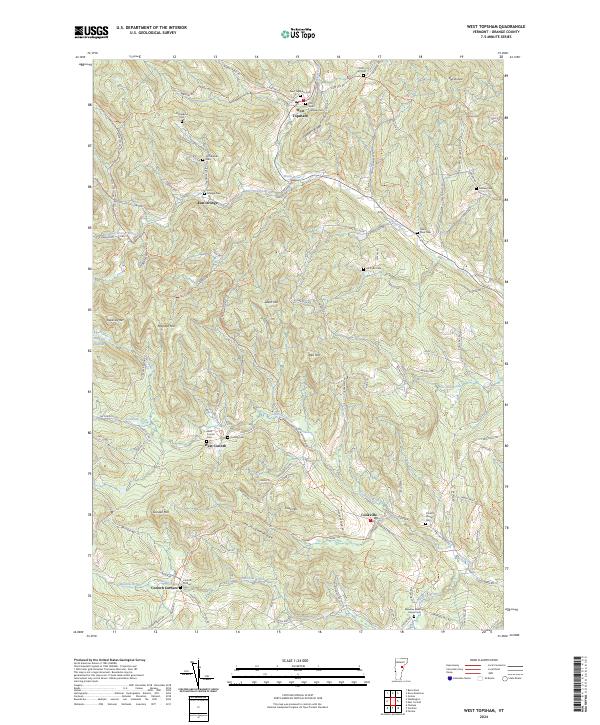
2024 West Topsham
Orange County, VT