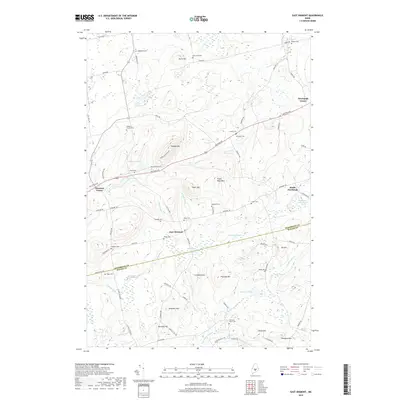
2018 Map of East Dixmont
USGS Topo · Published 2018About this map
East Dixmont and its surrounding countryside represent a classic Central Maine interior landscape, where small crossroads settlements grew around a network of family farms and rural thoroughfares. The terrain is defined by a series of prominent rises such as Peaked Mtn, Piper Mtn, and Twombly Mtn, which separate the various drainage basins of Chase Stream and Thurlow Brook. This 2018 survey reveals a high density of small, family-named burial grounds including Harmony Place Cem, Simpson Corners Cem, and Toothaker Cem, providing an invaluable resource for tracing the genealogy of the region's early settlers. The mapping of Gilmore Meadows and Chase Bog illustrates the significant wetland systems that characterize the low-lying areas between the granite-topped hills. Transportation centers on the east-west corridor of Western Ave, which links the hamlets of Dixmont Center and Newburgh Center.
Find a feature on this map
83 named features on this map. Tap any name to fly to it.
Don’t see what you’re looking for? This feature index may not catch every label — zoom into the map to look around manually.
Map Details
Editions of this 2018 East Dixmont Map
This is the sole edition of this map. No revisions or reprints were ever made.
Other maps of this area

1900 · Bucksport
USGS Topo · 1:62,500

1902 · Bucksport
USGS Topo · 1:62,500

1902 · Bangor
USGS Topo · 1:62,500

1931 · Stetson
USGS Topo · 1:48,000

1932 · Brooks
USGS Topo · 1:62,500

1935 · Stetson
USGS Topo · 1:62,500

1942 · Bangor
USGS Topo · 1:62,500

1942 · Bucksport
USGS Topo · 1:62,500

1946 · Bangor
USGS Topo · 1:62,500

1948 · Bangor
USGS Topo · 1:250,000