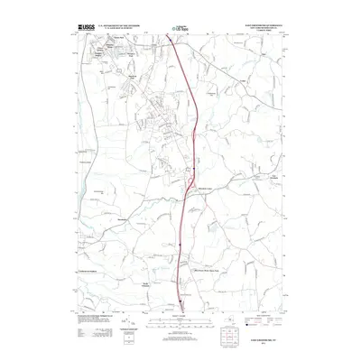
2013 Map of East Greenbush
USGS Topo · Published 2013About this map
Hampton Manor and Clinton Heights anchor the suburban landscape of Rensselaer County in this 2013 survey, reflecting the continued residential development east of the Hudson River. The area is characterized by a dense network of suburban streets and established neighborhoods like Sherwood Park and Clinton Park, which sit alongside more traditional agricultural operations. The survival of Goold Orchards, Gem Farms, and Swartz Orchard provides a direct link to the region's long-standing orcharding heritage amidst modern transit corridors.
Find a feature on this map
177 named features on this map. Tap any name to fly to it.
Don’t see what you’re looking for? This feature index may not catch every label — zoom into the map to look around manually.
Map Details
Editions of this 2013 East Greenbush Map
This is the sole edition of this map. No revisions or reprints were ever made.
Other maps of this area

1893 · Troy
USGS Topo · 1:62,500

1893 · Coxsackie
USGS Topo · 1:62,500

1893 · Albany
USGS Topo · 1:62,500

1894 · Coxsackie
USGS Topo · 1:62,500

1895 · Troy
USGS Topo · 1:62,500

1895 · Albany
USGS Topo · 1:62,500

1898 · Albany
USGS Topo · 1:62,500

1898 · Troy
USGS Topo · 1:62,500

1903 · Kinderhook
USGS Topo · 1:62,500

1925 · Troy
USGS Topo · 1:48,000