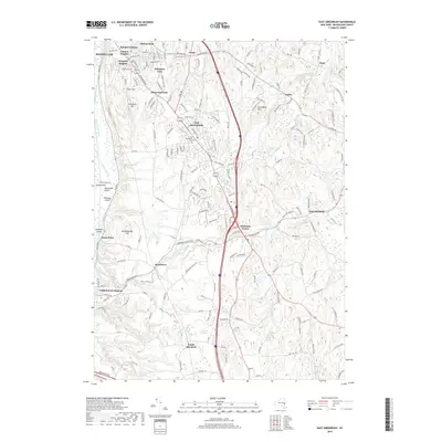
2019 Map of East Greenbush
USGS Topo · Published 2019About this map
East Greenbush and its surrounding residential neighborhoods characterize the transition from suburban Rensselaer County to the agricultural and wooded drainage basins of the Moordener Kill and its tributaries. The landscape is defined by a dense network of hamlets including Hampton Manor, Clinton Heights, and Schodack Center, all oriented around the historic corridor of the Columbia Tpke. These settlements represent decades of community growth, with local history preserved at the East Greenbush Cem and Greenbush Cem.
Find a feature on this map
39 named features on this map. Tap any name to fly to it.
Don’t see what you’re looking for? This feature index may not catch every label — zoom into the map to look around manually.
Map Details
Editions of this 2019 East Greenbush Map
This is the sole edition of this map. No revisions or reprints were ever made.
Other maps of this area

1893 · Troy
USGS Topo · 1:62,500

1893 · Coxsackie
USGS Topo · 1:62,500

1893 · Albany
USGS Topo · 1:62,500

1894 · Coxsackie
USGS Topo · 1:62,500

1895 · Troy
USGS Topo · 1:62,500

1895 · Albany
USGS Topo · 1:62,500

1898 · Albany
USGS Topo · 1:62,500

1898 · Troy
USGS Topo · 1:62,500

1903 · Kinderhook
USGS Topo · 1:62,500

1925 · Troy
USGS Topo · 1:48,000